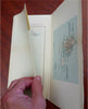
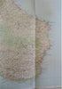
Bornholm Denmark Past Monuments Archaeological Map 1964 tourist folding map
Brian DiMambro- Antiquarian Books, Maps & Prints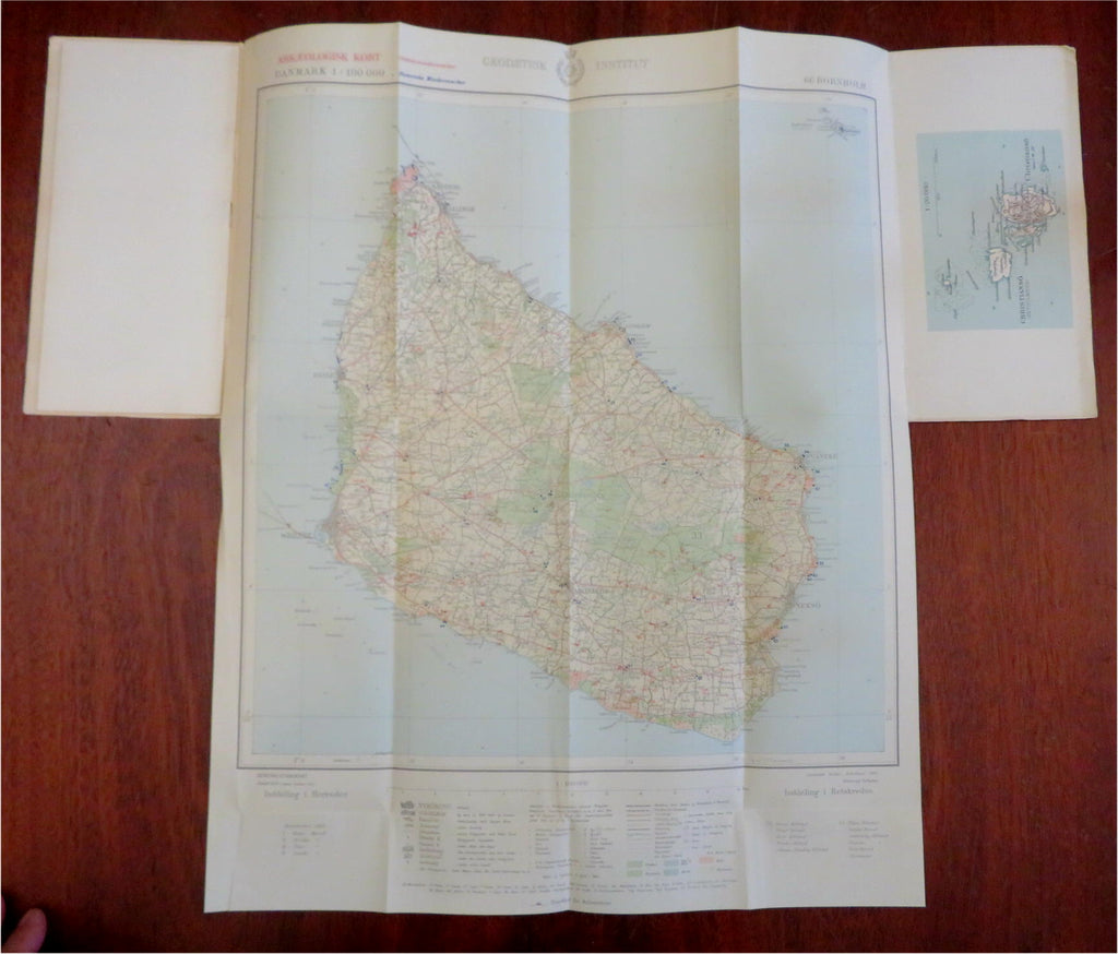

(Old Maps, 20th Century Maps, Europe, Scandinavia, Denmark, Bornholm, Archaeology, Travel, Tourist Maps).
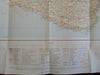
Vore Fortidsminder Arkaeologisk Kort Bladd 66 Bornholm.
Published 1964, Copenhagen, Denmark by Geographic Institute of the National Museum.
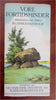
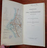
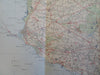
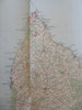
Folding brochure. Text in Danish. Illustrated with several smaller maps. Unfolds to large map of the island.
Publisher's pictorial paper wrappers folded into panels, printed on both sides.
Item is old and shows some signs of handling and time. Item is not new or in "new" condition.
Paper gently age worn, slight rubbing, remains overall clean and attractive as a fragile survival.
Paper is lightly toned, signs of handling, internally still well preserved, clean, tight, sound.
Still attractive on the shelf. The scarce pamphlet displays a pleasing and unique age patina and is in nice antiquarian condition, any age flaws easy to overlook or forgive.
Please review photos for more detail and our best attempt to convey how this item survives.
Covers measures c. 9 1/2" H x 4 3/4" W.
[B7195].