Rare pocket gazeteer almanac geographical atlas w/ maps 1783 Paris North America
Brian DiMambro- Antiquarian Books, Maps & Prints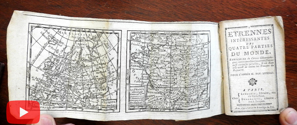

[Rare 18th Century Books, miniature pocket Atlases & gazetteers, Books with Maps, encyclopedias]
Short video captures condition much better than words. Please watch prior to purchase to ensure a clear understanding of the charming and scarce little pocket sized miniature book.
Etrennes Interessantes Des Quatre Parties Du Monde.
Published 1783, Paris by Langlois & Deschamps.
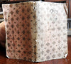
126 pages. Text in French. Period early owner supplied decorative gilt paper covers frontis and rear maps.
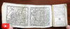
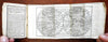
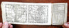
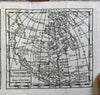
Includes a rare series of 7 different small engraved maps by Brion de la Tour printed back-to-back on a single sheet and bound in as frontis/ rear folding maps. Complete as issued, unique example in such interesting early hand stamped gilt paper covers.
Delightful and rare miniature pocket gazetteer, intended for the upper class 18th century mobile citizen who would find it very helpful if they were traveling around on the continent.
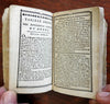
Contents include an annual lunar calendar, extensive political details of all nations including thousands of specific names and their offices, religions, commercial instructions, walking distances between many cities on the continent, and concludes with a monetary conversion table between various circulating national currencies.
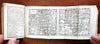
The seven maps are: World in double hemispheres, Europe, France, Asia, Africa, North and South America. The highly detailed statistical text which includes a monthly lunar calendar with tiny symbols.
An in-depth geographical pocket encyclopedia. This rare little pocket compendium covers the entire world, including the United States, down to listing of individual states and Spanish possessions including California.
Some page corners gently age curled from use, early paper wrappers slightly rubbed, any age flaws are easy to overlook or forgive.
Book measures: 4" H X 2 1/2" W.
[V2328].
The entire suite of 18th century miniature world maps are very unusual being printed back to back on a single long narrow sheet like found here, the middle of the sheet being the stapled spine of the book. In fact, we cannot recall having seen it before.