India British Raj Calcutta Bombay Dehli Southeast Asia 1882 two sheet map
Brian DiMambro- Antiquarian Books, Maps & Prints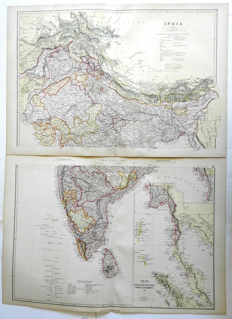
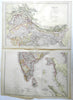
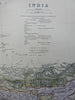

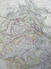
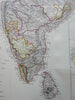

India.
(Asia, India, British Raj, Mysore, Calcutta, Dehli, Bombay, Goa, Punjab, Indus River, Ganges River, Southeast Asia).
Issued 1882, Edinburgh by Blackie & Son.
Very detailed late 19th century color lithographed map. Map consists of two sheets. Please see photos.
Well preserved, nice looking example with pleasing age patina.
Original center folds as issued.
Sheets Measure c. 15" H x 22" W.
Engraved Areas Measure c. 13 1/2" H x 19 3/4" W.
Cartographic Reference(s):
Tooley's Dictionary of Mapmakers, vol. 1.
[R23199].