Low Countries Luxemburg Netherland Belgium 1720 Homann antique folio color map
Brian DiMambro- Antiquarian Books, Maps & Prints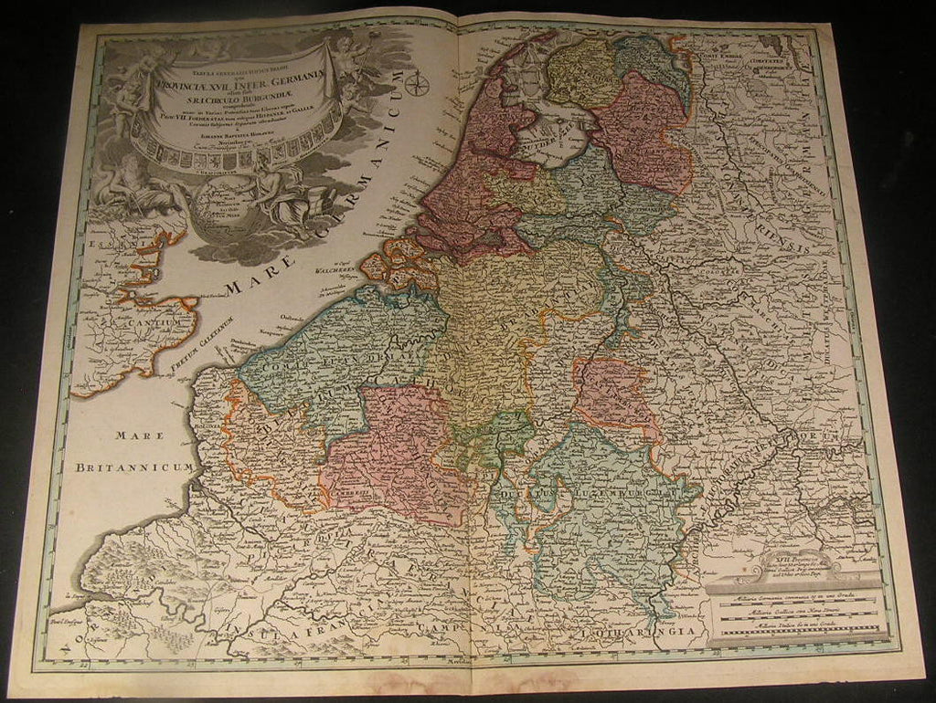
Tabula Generalis Totius Belgii qui Provinciae XVII. Infer. Germaniae oti, Sub S.R.I. Circulo Burgundiae
(Low Countries, Flanders, Artois, Brabant, Netherlands, Belgium)
Issued ca, 1720, Nuremburg, Germany by Joh. B. Homann
Fine and uncommon engraved folio sheet map of the Low Countries with original hand color. Fantastic cartouche featuring cherubs, Apollo & Poseidon holding a trident around a world globe. A series of coats of arms across the bottomof the title.
A picture is worth a thousand words. The photos are a major part of the item description. Please examine them closely, as what you see is what we will send you.
[note: we grade conservatively and always seek to disclose any noteworthy flaws.].
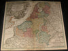
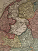
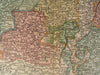
Map remains well preserved. Some light age wear or surface spotting/ soiling which is visible within the scan, bottom blank margin stained, but a nice impression and very appealing visually overall.
Paper and image remains overall clean & sound. Old maps & prints often display small minor repairs on the back, could have uneven blank margins, might have extraneous fold-lines or other small minor age flaws which do not detract from the visual appeal or value. Condition is carefully considered in arriving at our price.
Great antique map entirely worthy of hanging for display.
A depiction captured in a manner entirely unique to this era.
Sheet measures c. 19 7/8" H x 23 1/8" W.
Printed area measures c. 18 3/4" H x 21 7/8" W
Original fold line as issued.
Tooleys Dictionary of Mapmakers , v. 2, p. 362
[R1636]