Antwerp Belgium Anvers detailed city plan architectural views c 1840 SDUK map
Brian DiMambro- Antiquarian Books, Maps & Prints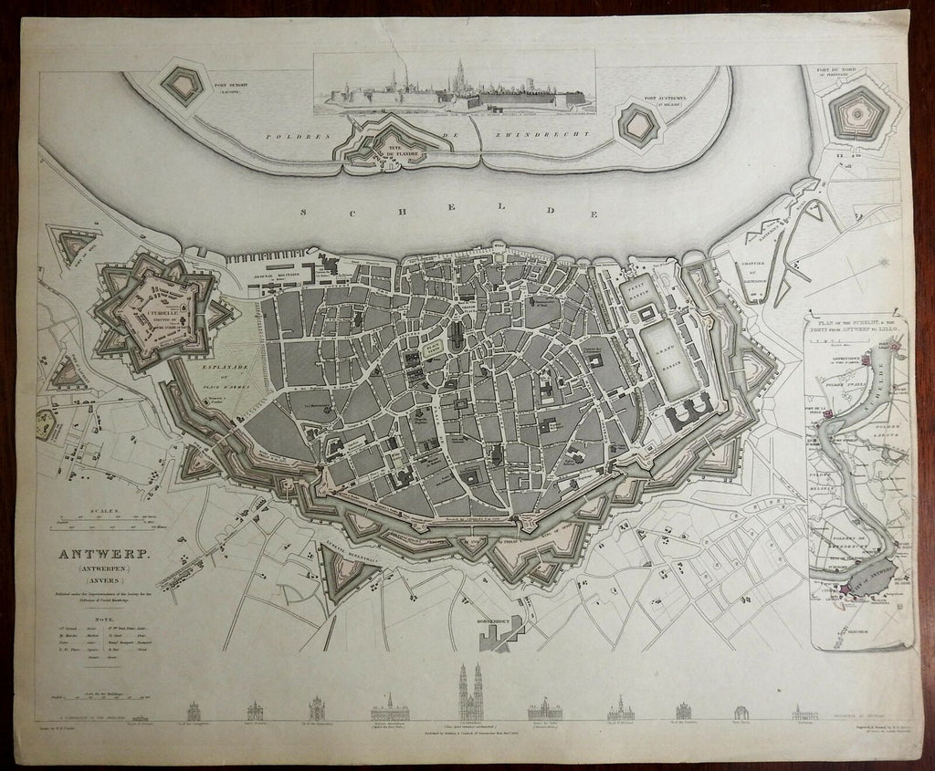
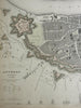
Antwerp (Antwerpen) (Anvers).
(Europe, Low Countries, Belgium, Antwerp, Detailed City Plan, Start Fort, Architectural Views).
Issued c. 1840, London by SDUK.
Mid 19th century engraved city plan, with original hand color.
Series of comparative building facades across the bottom,prospect view at top, inset map lower right.
Nice looking example, pleasing age patina, any minor age flaws easy to overlook or forgive.
Sheet Measures c. 13 1/4 "H x 16" W.
Engraved Area Measures c. 12" H x 15 1/2" W.
Cartographic Reference(s):
Tooley's Dictionary of Mapmakers, vol. 4.
[R23598].