Australia New South Wales Victoria Sydney Melbourne Perth c. 1856-72 Weller map
Brian DiMambro- Antiquarian Books, Maps & Prints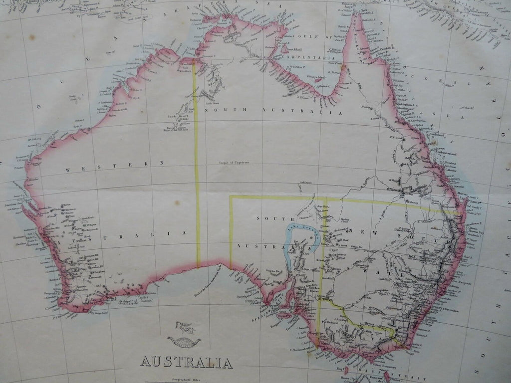
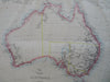
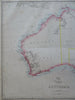
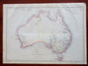
Australia.
(Old Maps, 19th Century Maps, Oceania, Australia, Victoria, New South Wales, West Australia, North Australia, Melbourne, Sydney, Perth, Canberra).
Issued c. 1856-72, London by Edward Weller for the Weekly Dispatch Atlas.
Mid 19th century lithographed map with original outline hand color.
The apocryphal Lake Torrens is shown with the incorrect hook shape in South Australia.
A relatively uncommon map which was among maps issued in weekly installments for many years by this firm.
Typical signs of time and wear soft old crease line across center which is easy to overlook.
Sheet Measures c. 13 1/2" H x 18 1/4" W.
Printed Area Measures c. 12" H x 17" W.
Cartographic Reference(s):
Tooley's Dictionary of Mapmakers, vol. 4.
[R30348].