British Isles United Kingdom Ireland England Wales Scotland 1843 Stieler map
Brian DiMambro- Antiquarian Books, Maps & Prints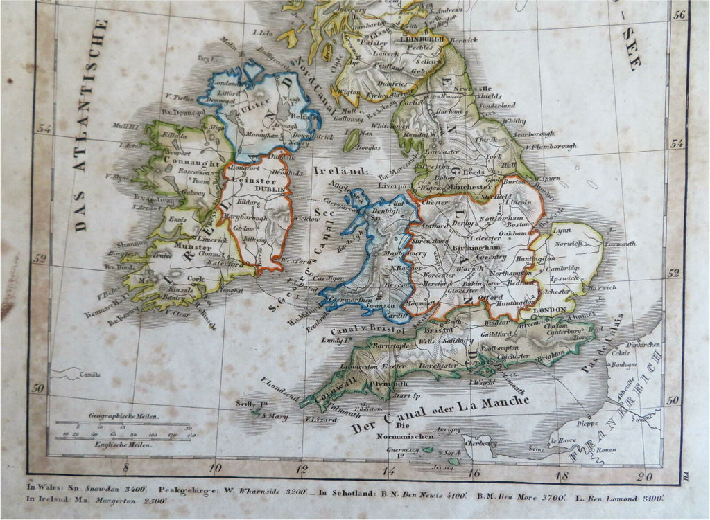
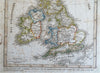
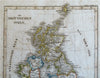
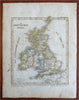
Die Brittischen Inseln.
(Old Maps, 19th Century Maps, Europe, British Isles, United Kingdom, England, Wales, Scotland, Ireland).
Issued 1843, Gotha by Justus Perthes for Stieler.
Scarce mid 19th century engraved map with original outline hand color. Map was mounted on linen in the 19th century,
Well preserved, nice looking example with pleasing age patina. Moderate to heavy age spotting as seen in photos. Still worthy of display and ownership.
Sheet Measures c. 9 1/4" H x 11 1/2" W.
Engraved Area Measures c. 7 1/2" H x 8 3/4" W.
Cartographic Reference(s):
Tooley's Dictionary of Mapmakers, vol. 4.
[R27636].