Cherbourg Normandy France Fortifications c. 1856-72 Weller detailed city plan
Brian DiMambro- Antiquarian Books, Maps & Prints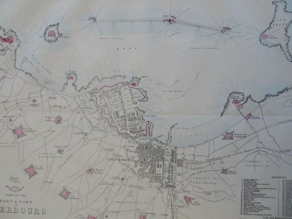
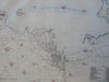
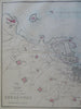
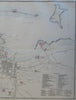
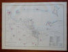
Plan of the Port and Town of Cherbourg.
(Old Maps, 19th Century Maps, Europe, France, Normandy, Cherbourg, Port, Fortifications, City Plan).
Issued c. 1856-72, London by Edward Weller for the Weekly Dispatch Atlas.
Mid 19th century lithographed map with original outline hand color. Numbered key identifies important locations.
A relatively uncommon map which was among maps issued in weekly installments for many years by this firm.
Typical signs of time and wear soft old crease lines which are easy to overlook.
Sheet Measures c. 13 1/2" H x 18 1/4" W.
Printed Area Measures c. 12" H x 17" W.
Cartographic Reference(s):
Tooley's Dictionary of Mapmakers, vol. 4.
[R30372].