Constitucion Chile Detailed City Plan 1855 Gritzner lithographed map
Brian DiMambro- Antiquarian Books, Maps & Prints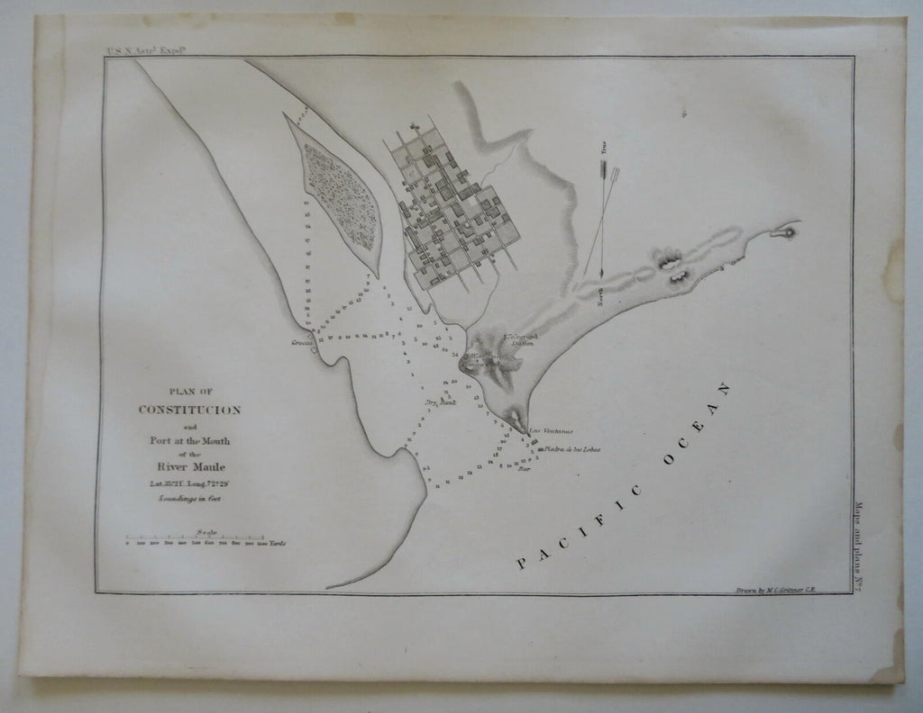
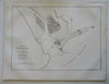
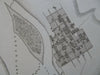
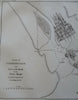

Plan on Constitucion and Port at the Mouth of the River Maule.
(Old Maps, 19th Century Maps, South America, Chile, Contitucion, City Plan).
Issued 1855, United States. Engraved by M.C. Gritzner.
Mid 19th Century lithographed city plan.
Sheet Measures c. 8 3/4" H x 11 1/2" W.
Printed Area Measures c. 7 1/4" H x 9 3/4" W.
[R29400].