East Prussia German Confederation Pomeralia Danzig Kongisberg 1844-7 Walker map
Brian DiMambro- Antiquarian Books, Maps & Prints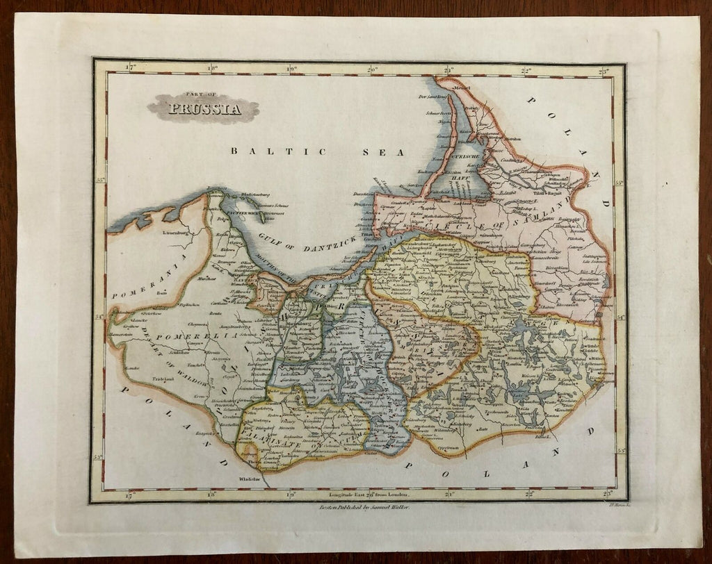
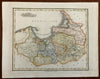
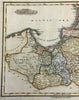
Part of Prussia.
(Europe, German Confederation, Germany, Prussia, East Prussia, Pomerania, Danzig, Konigsberg).
Issued 1844-7, Boston by Samuel Walker. Engraved by H, Morse.
Mid 19th century engraved map with attractive hand color.
Remains a nice looking example with a pleasing age patina. Any age flaws mostly minor and easy to overlook or forgive.
Sheet Measures c. 11 1/2" H x 9" W.
Engraved Area Measures c. 9 1/2" H x 7 1/4" W.
Cartographic Reference(s):
Tooley's Dictionary of Mapmakers, vol. 4.
[R26854].