Eastern Australia New South Wales Victoria Melbourne Sydney 1860 Bartholomew map
Brian DiMambro- Antiquarian Books, Maps & Prints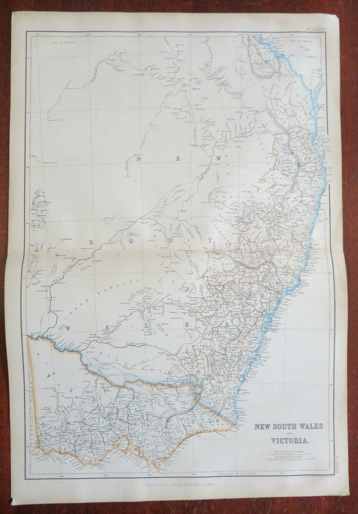
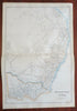
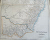
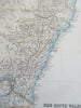
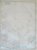
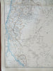
New South Wales and Victoria.
(Oceania, Australia, New South Wales, Victoria, Melbourne, Sydney, Port Philip).
Issued 1860, Glasgow by Blackie & Son. Engraved by J. Bartholomew.
Fine oversize mid 19th century engraved map with original outline hand color.
From an uncommon atlas of the era, a monumental folio production that was quite expensive in its day.
Well preserved, clean, nice looking example with pleasing age patina.
Original center fold as issued.
Sheet Measures c. 21 1/2" x 14 5/8".
Engraved Area Measures c. 19 1/2" x 13 1/2" .
Cartographic Reference(s):
Tooley's Dictionary of Mapmakers, vol. 1, 143.
[R26990].