France 4 sheet map 1891 Stieler detailed map wall size amazing detail
Brian DiMambro- Antiquarian Books, Maps & Prints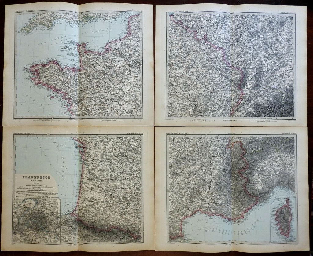
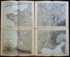
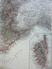
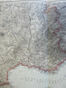
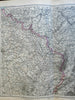
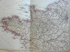
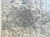
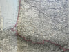
Frankreich in 4 Blattern von C. Vogel.
(Europe, France, Paris, Gascony, Brittany, Normandy, Champagne, Burgundy, Provence, Toulouse).
Issued 1891, Gotha by Justus Perthes for Stieler.
Very detailed 19th century engraved map with original hand color. Map consists of 4 sheets. Please see photos.
Stieler maps went through continual revisions. Thus, for any specific Stieler map such as this one, there are often numerous variant issues with varying details.
Nice looking example, clean, pleasing age patina, any minor age flaws easy to overlook or forgive.
Original fold line as issued.
Sheet Measures c. 15 1/4" H x 18" W.
Cartographic Reference(s):
Tooley's Dictionary of Mapmakers, vol. 4.
[R23083].