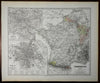
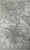
France Ancien Regime French duchies Paris city plan Spruner 1877 historical map
Brian DiMambro- Antiquarian Books, Maps & Prints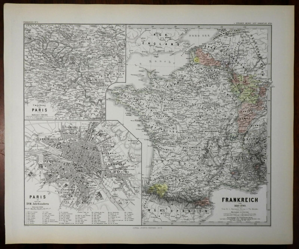
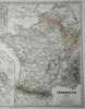
Frankreich von 1610-1790.
(Europe, France, Paris, City Plan, Brittany, Normandy, Picardie, Champagne, Burgundy, Aquitaine, Poitou).
Issued 1877, Gotha by Justus Perthes for Spruner-Menke.
Mid-19th century detailed historical map with original hand color. Small inset maps depict a city plan of Paris and the countryside around Paris.
Clean and nice looking example, pleasing age patina, any minor age flaws easy to overlook or forgive.
Sheet measures c. 15 1/4" H x 18 1/4" W.
Cartographic Reference(s):.
Tooley's Dictionary of Mapmakers, vol. 3.
[R21524].