Holy Roman Empire Franconia Nurmemberg Coburg Ansbach 1799 Cary folio map
Brian DiMambro- Antiquarian Books, Maps & Prints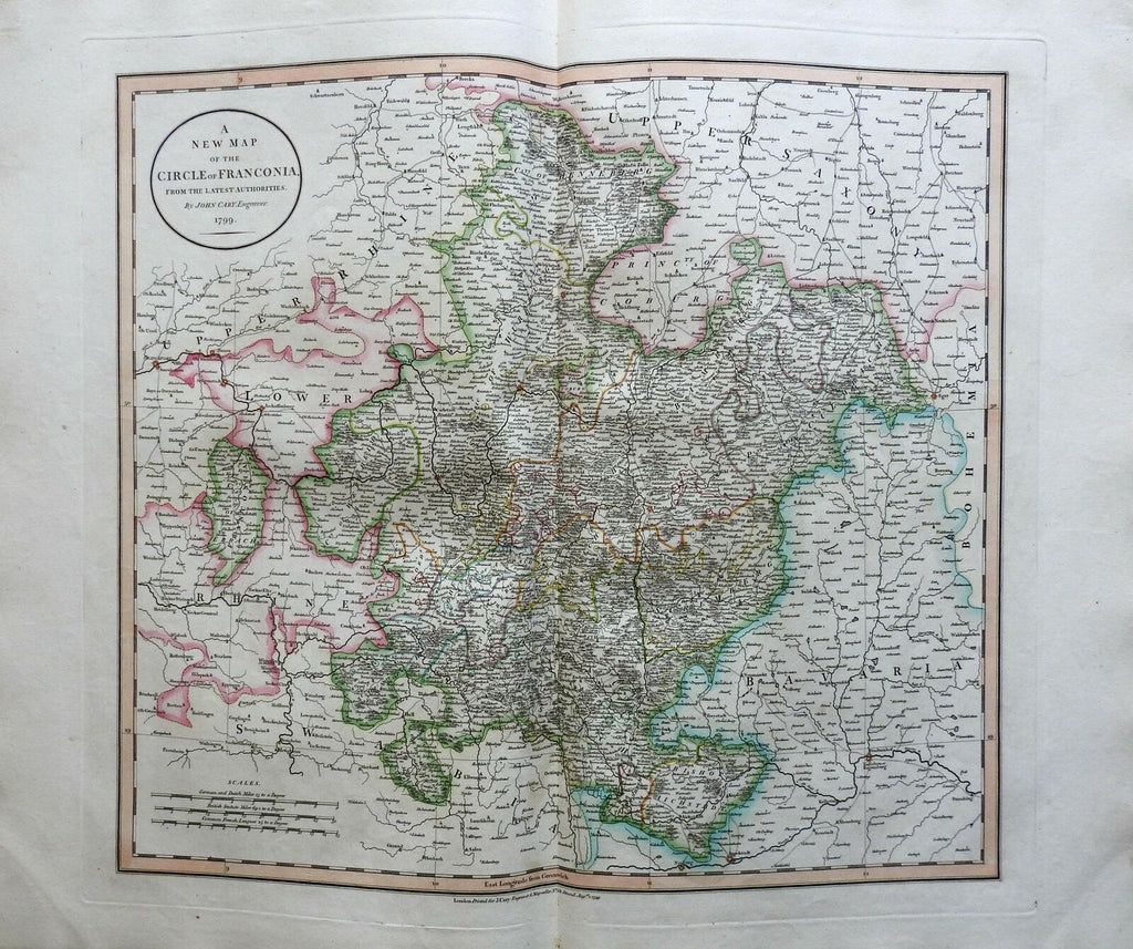
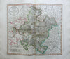
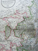
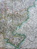
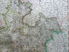
A New Map of the Circle of Franconia From the Latest Authorities.
(Europe, Holy Roman Empire, Germany, Franconia, Coburg, Henneberg, Ansbach, Nuremberg).
Issued 1799, London by Cary.
Late 18th century engraved map with original outline hand color.
Nice looking example, pleasing age patina, any minor age flaws easy to overlook or forgive. Maps remains in very good condition, a lovely survival.
Folio sized map. Original center fold as issued.
Sheet measures c. 22 3/4" H x 26 1/2" W.
Engraved area measures c. 18" H x 20" W.
Cartographic Reference(s):.
Tooley's Dictionary of Mapmakers, vol. 1.
[R22417].