Holy Roman Empire Prussia Austria c. 1830's Brue large detailed map hand color
Brian DiMambro- Antiquarian Books, Maps & Prints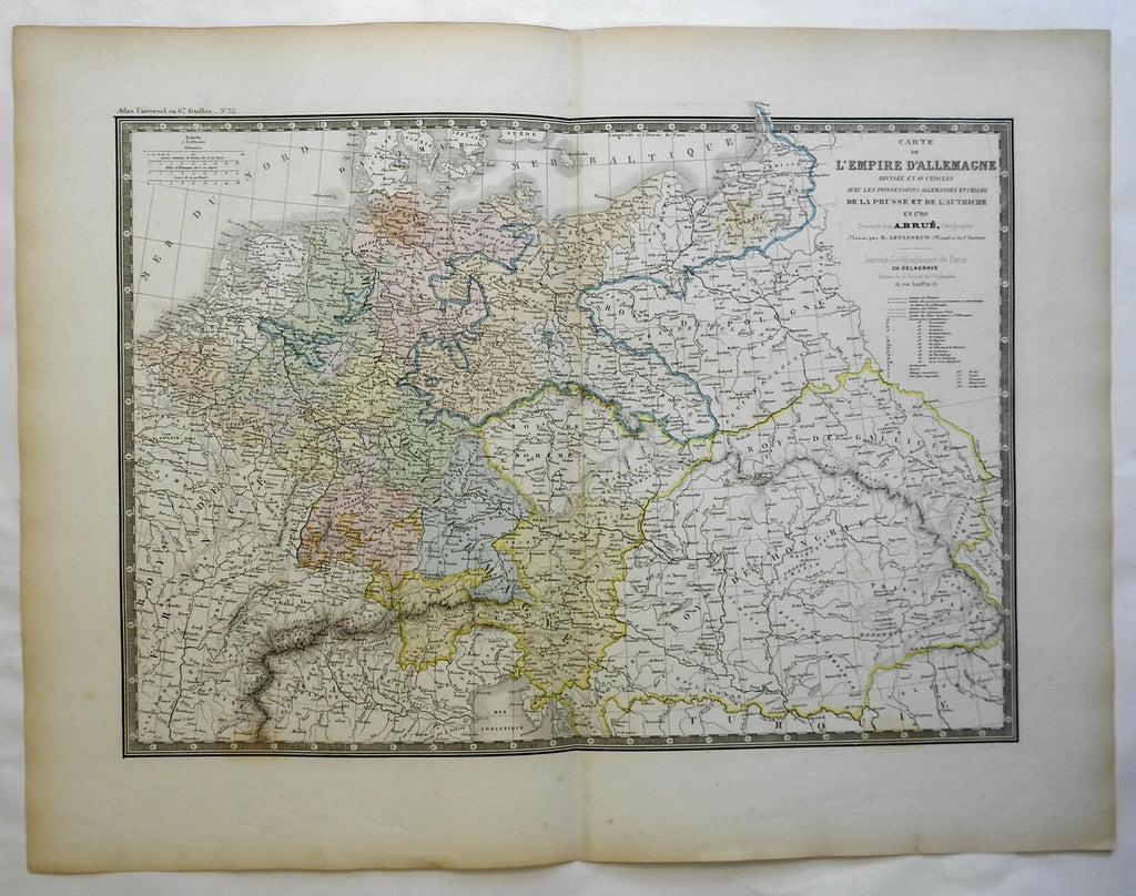
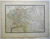
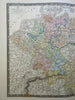
Carte de L'Empire D'Allemagne Divisee en 10 Cercles Avec les Possessions Allemades et Celles de la Prusse et de L'Autriche en 1789.
(Europe, Holy Roman Empire, Germany, Austria, Prussia, Bohemia, Hungary, Bavaria, Westphalia, Hanover, Saxony, Galicia).
Issued c. 1830-36, Paris by A. Brue. [Delagrave].
Lovely and uncommon early 19th century folio sheet antique map. Engraved with original hand color, piano key border.
Longitude given from Paris.
Minor light offsetting, but overall clean and attractive.
Original fold line as issued.
Sheet measures c. 19" x 24 1/2"
Engraved area measures c. 14" x 20"
[R23738]
Tooley's Dictionary of Mapmakers, v. 1, p. 199.