Kingdom of Denmark Iceland Faroe Islands Hamburg 1855Stieler detailed map
Brian DiMambro- Antiquarian Books, Maps & Prints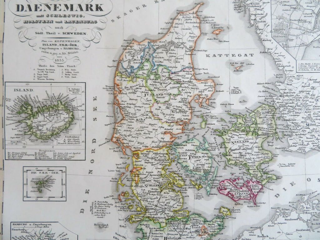
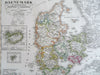
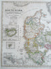
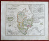
Daenmark.
(Old Maps, 19th Century Maps, Europe, Scandinavia, Kingdom of Denmark, Jylland, Iceland, Faroe Island, Sjaelland, Fyn, Copenhagen).
Issued 1855 Gotha by Justus Perthes for Stieler. Map by Stieler.
Nicely detailed oversize mid-19th century engraved map with original hand color. With a large detailed inset plan of Copenhagen at top right, three other insets at lower left including Iceland.
This example has no centerfold.
Stieler maps went through continual revisions. Thus, for any specific Stieler map such as this one, there are often numerous variant issues with varying details.
Nice looking example, clean, pleasing age patina, any minor age flaws easy to overlook or forgive.
Sheet Measures c. 14 3/4" H x 17 1/2" W.
Cartographic Reference(s):
Tooley's Dictionary of Mapmakers, vol. 4.
[R27755].