Mexico Central America Yucatan Peninsula Texas 1860 Lowry large map
Brian DiMambro- Antiquarian Books, Maps & Prints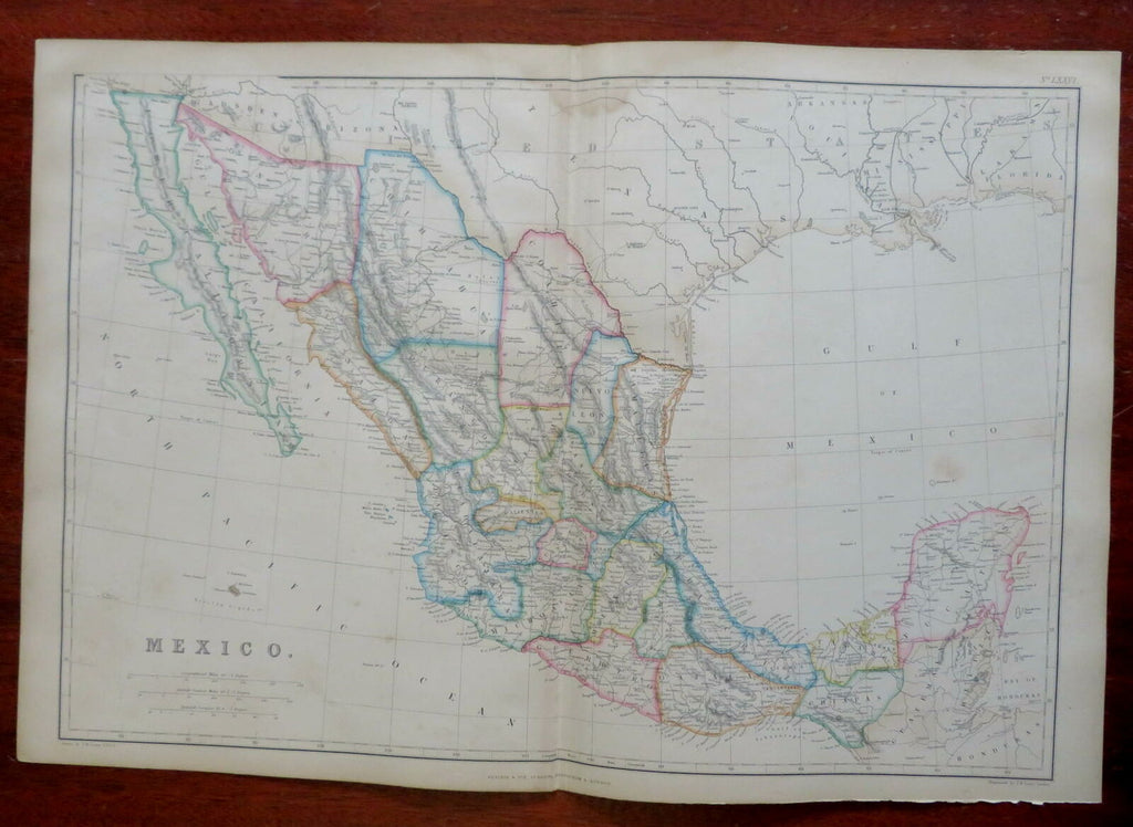
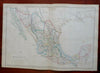
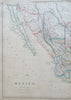
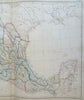
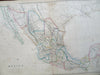
Mexico.
(North America, Mexico, Mexico City, Tiajuana, Puebla, Vera Cruz, San Luis Potosi).
Issued 1860, Glasgow by Blackie & Son. Engraved by J. W. Lowry.
Fine oversize mid 19th century engraved map with original outline hand color.
From an uncommon atlas of the era, a monumental folio production that was quite expensive in its day.
Well preserved, light scattered spotting, some light old damp staining across the top, nice looking example with pleasing age patina.
Original center fold as issued.
Sheet Measures c. 21 1/2" x 14 5/8".
Engraved Area Measures c. 19 1/2" x 13 1/2" .
Cartographic Reference(s):
Tooley's Dictionary of Mapmakers, vol. 1, 143.
[R26980].