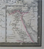
Napoleonic Europe in 1813 French Empire Egypt 1826 Brue large detailed map
Brian DiMambro- Antiquarian Books, Maps & Prints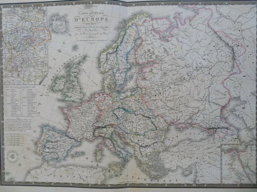
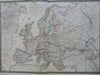

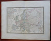
Carte Generale D'Europe en 1813 Redigee Pour L'Etude de L'Histoire de 1788 a 1815.
(Old Maps, 19th Century Maps, Europe, Napoleonic France, British Isles, Spain, Germany, Austria, Russian Empire, Ottoman Empire).
Issued 1826 Paris by A. Brue. [Picquet].
Lovely and uncommon early 19th century folio sheet antique map. Engraved with original hand color, piano key border.
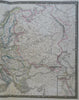
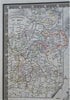
Longitude given from Paris. Inset top left of the Confederation of the Rhine with a Table and notes below, another inset lower right of Egypt..
Minor light offsetting, 2" split at bottom centerfold, short edge tear, but overall clean and attractive, great for display or study.
Original fold line as issued.
Sheet measures c. 19" x 24 1/2"
Engraved area measures c. 14" x 20"
[R30437]
Tooley's Dictionary of Mapmakers, v. 1, p. 199.