Northern Italy Lombardy Venice Verona Milan Tyrol 1850's Flemming detailed map
Brian DiMambro- Antiquarian Books, Maps & Prints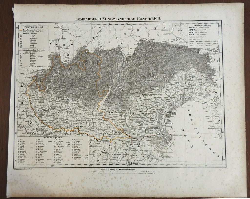

Lombardisch Venezianisches Konigreich.
(Europe, Italy, Austria, Lombardy, Venice, Italias, Venezia, Verona, Milan, Tyrol).
Issued c. 1850's, Glogau by C. Flemming.
Mid 19th century lithographed map with original outline hand color.
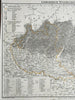
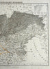
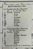
Appears to be a list of 55 mountain heights at bottom left, Province key at top left, lettering size based on population.
Very detailed with far more place names than typically seen on maps of this era.
Moderate overall small age spotting, still with pleasing age patina, any minor age flaws easy to overlook or forgive.
Sheet Measures c. 17 1/2" H x 14 1/4" W.
Engraved Area Measures c. 16 1/4" H x 12 1/4" W.
Cartographic Reference(s):
Tooley's Dictionary of Mapmakers, vol. 2.
[R26396].