Ottoman Empire Balkans Albania Serbia Bosnia 1850 Cowperthwait Mitchell map
Brian DiMambro- Antiquarian Books, Maps & Prints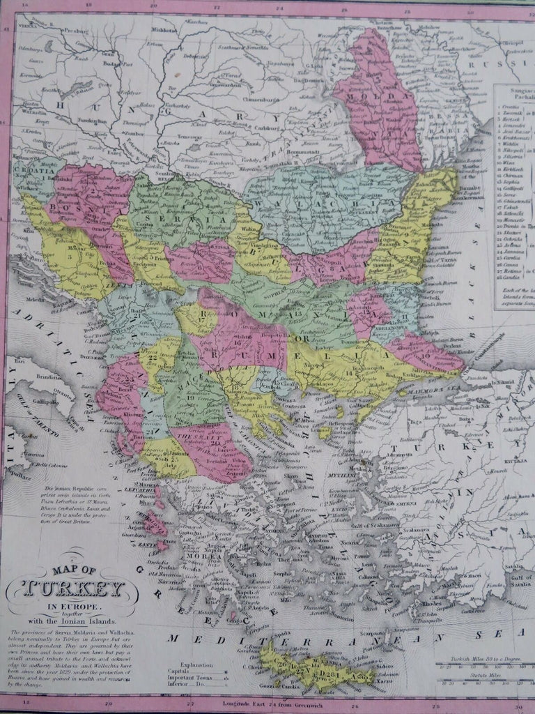
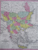
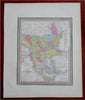
Map of Turkey in Europe, Together with the Ionian Islands.
(Old Maps, 19th Century Maps, Europe, Ottoman Empire, Balkans, Greece, Albania, Macedonia, Serbia, Bosnia, Montenegro, Bulgaria, Romania, Crete, Ionian Islands).
Issued 1850, Philadelphia by Cowperthwait for S.A. Mitchell.
Lovely 19th century engraved and lithographed map with original hand color. Mitchell maps of this mid-century era were issued with a range of color as well as variant decorative borders.
Text below the title discusses the "provinces of Servia, Moldavia & Wallachia belonging nominally to Turky in Europe but are independent". Princes have their own laws but "pay a small annual tribute". The configuration and boundaries depicted are unique to this era and map and are very interesting from that angle alone. There are different variant versions of this map of potential interest to a collector.
Nice looking example, clean and fresh, pleasing age patina, any small age spots or minor age flaws easy to overlook or forgive.
Sheet Measures c. 12 1/2" H x 15 1/4" W.
Engraved Area Measures c. 10 1/2" H x 13 1/2" W.
Cartographic Reference(s):
Reps, American Maps and Mapmakers, p. 313.
Tooley's Dictionary of Mapmakers, vol. 4, pp. 260.
[R30479].