Revolutionary Europe in 1789 Austria France Poland 1826 Brue large detailed map
Brian DiMambro- Antiquarian Books, Maps & Prints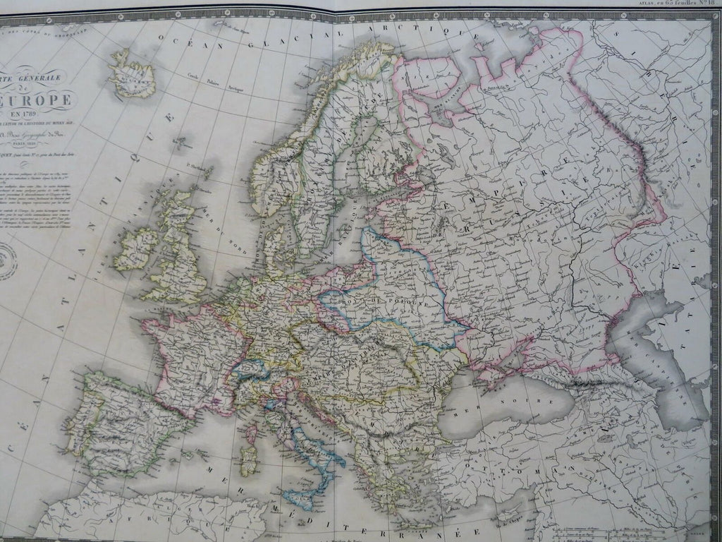
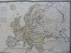
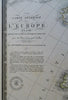
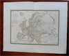
Carte Generale de L'Europe en 1789 Redigee Pour L'Etude de L'Histoire duy Moyen Age.
(Old Maps, 19th Century Maps, Europe, Revolutionary France, British Isles, Spain, Holy Roman Empire, Poland, Scandinavia, Russian Empire, Ottoman Empire).
Issued c. 1830-36, Paris by A. Brue. [Picquet].
Lovely and uncommon early 19th century folio sheet antique map. Engraved with original hand color, piano key border.
Longitude given from Paris.
Minor light offsetting, but overall clean and attractive.
Original fold line as issued, short split at bottom well outside any printed area.
Sheet measures c. 19" x 24 1/2"
Engraved area measures c. 14" x 20"
[R30438]
Tooley's Dictionary of Mapmakers, v. 1, p. 199.