World Map on Mercator's Projection c. 1850-8 Archer engraved map
Brian DiMambro- Antiquarian Books, Maps & Prints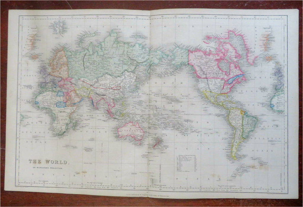
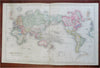
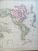
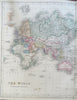
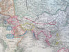
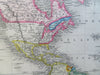
The World on Mercator's Projection.
(World Map, Mercator's Projection, North & South America, Africa, Europe, Asia, Oceania).
Issued c. 1850-8, London. Engraved by J. Archer for Collins & Mudie.
Within central Africa, the apocryphal "Mts. of the Moon" chain is still shown.
Very attractive and uncommon mid 19th century engraved map with original hand color.
Well preserved, clean, nice looking example with pleasing age patina.
Original fold lines.
Sheet Measures c. 13" H x 20" W.
Engraved Area Measures c. 11 1/4" H x 18" W.
Cartographic Reference(s):
Tooley's Dictionary of Mapmakers, vol. #1.
[R27670].