Belgium Holland Luxembourg Netherlands Flanders Brabant c.1760 Lotter Lobeck map
Brian DiMambro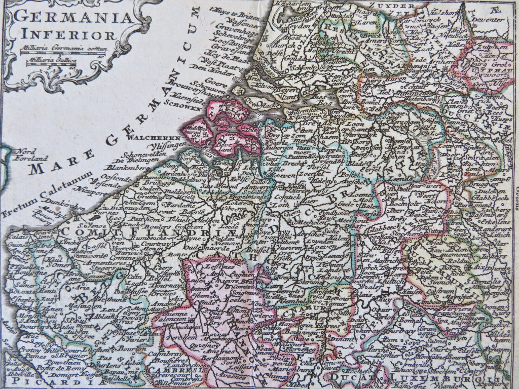
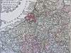
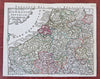
Germania Inferior.
(Old Maps, 18th Century Maps, Europe, Low Countries, Netherlands, Belgium, Flanders, Brabant, Zealand, Luxembourg).
Issued c. 1760, Augsburg by Lobeck & Lotter.
Miniature mid 18th century engraved map with original hand color.
Nice looking example, pleasing age patina, any minor age flaws easy to overlook or forgive.
Original center fold as issued.
Sheet measures c. 4" H x 5 1/4" W.
Engraved area measures c. 3 5/8" H x 4 3/4" W.
[B12436].