Europe France British Isles Holy Roman Empire Poland 1761 Buache Delisle map
Brian DiMambro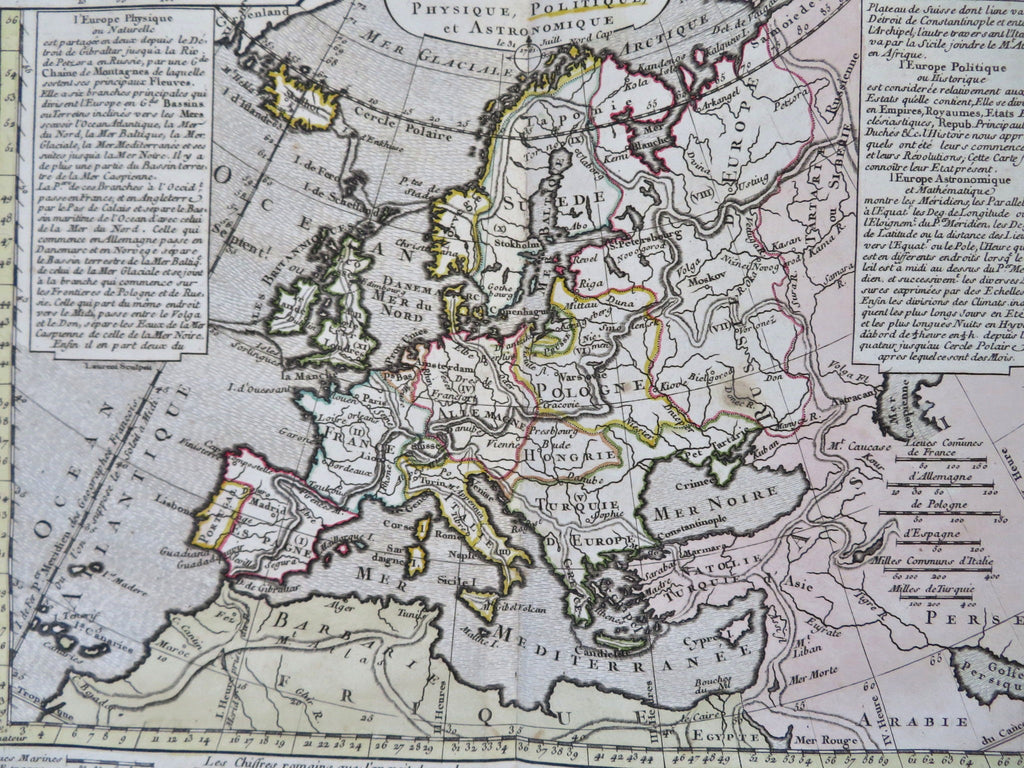
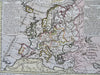
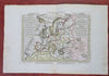
Europe Physique, Politique, et Astronomique.
(Old Maps, 18th Century Maps, Engraved Maps, Europe, Iberia, France, British Isles, Holy Roman Empire, Germany, Scandinavia, Italy, Low Countries, Ottoman Empire, Poland, Russian Empire).
Issued 1761, Paris by Delisle & P. Buache for the French Academy of Geography.
Mid 18th century antique engraved map with original hand color.
Well preserved, nice looking example with pleasing age patina, short .5" blank margin split at base of centerfold.
Original center fold as issued.
Sheet Measures c. 10" H x 15" W.
Engraved Area Measures c. 7 3/4" H x 10 1/2" W.
[B12225].