Europe Revolutionary France Poland Italy Holy Roman Empire c. 1800 Brion map
Brian DiMambro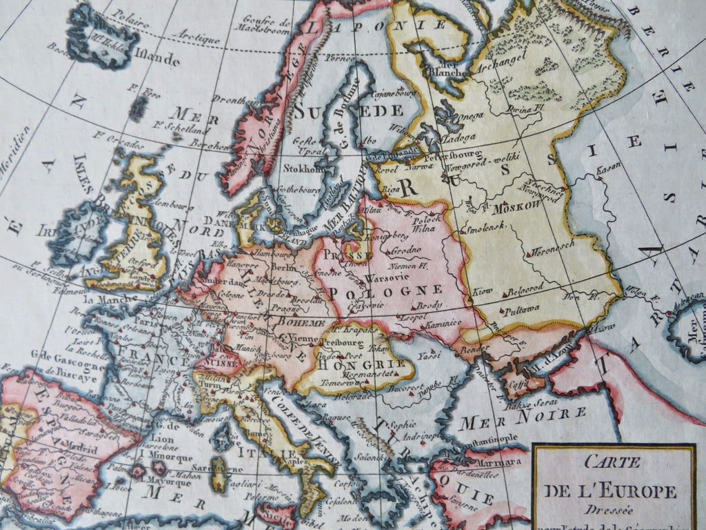
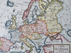
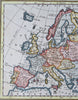
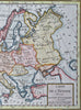
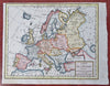
Carte De L'Europe.
(Old Maps, 18th Century Maps, Europe, Iberia, Revolutionary France, Holy Roman Empire, British Isles, Hungary, Poland, Ottoman Empire, Russian Empire).
Issued c.1790-1810, Paris, by Brion.
Charming little engraved map, with very attractive hand color. A superior visual example.
Remains a nice looking example with a pleasing age patina. Any age flaws minor and easy to overlook or forgive.
Sheet Measures c. 7 3/4" H x 9 3/4" W.
Engraved Area Measures c. 7 1/4" H x 8 3/4" W.
Cartographic Reference(s):
Tooley's Dictionary of Mapmakers, vol. 1.
[B12427].