Bay of Bonthain Sulawesi Celebes Indonesia 1774 engraved Exploration coastal map
Brian DiMambro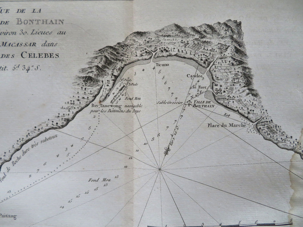
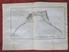
Vue de la Baye de Bonthain Situee a environ 30. Lieus au S.E. de Macassae dan L'Isle des Celebes.
(Old Maps, 18th Century Maps, Oceania, Indonesia, Celebes, Graphic Arts, Age of Exploration, Sailing Ships, World Voyages,).
Issued 1774, Paris for Hawkesworth for the English Exploration of the Southern Hemisphere. Engraved by Benard.
A nice 18th century copper engraved print relating to the nautical exploration of the South Pacific.
Nice looking example, pleasing age patina, strong old damp staining, dustiness or toning, any minor age flaws easy to overlook or forgive.
Original center fold as issued.
Sheet measures c. 10 1/2" H x 13 3/4" W.
Engraved area measures c. 6 3/4" H x 11 1/2" W.
[R33817].