New Ireland Latangai Papua New Guinea 1774 engraved Exploration coastal map
Brian DiMambro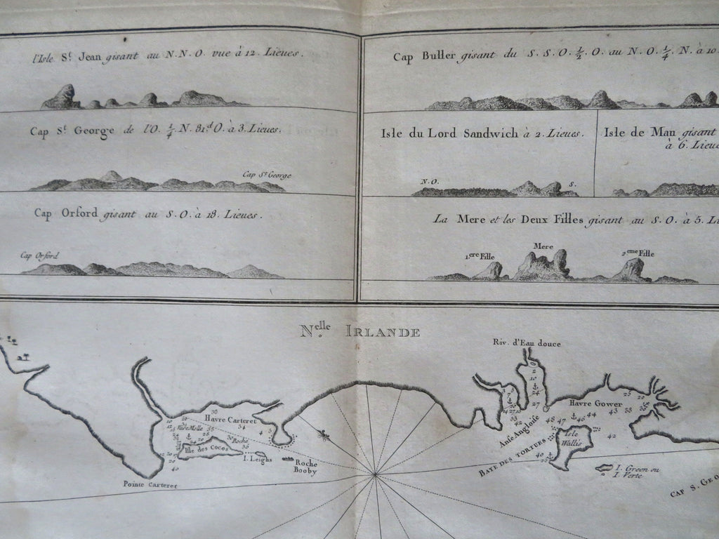
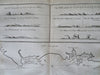
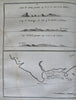
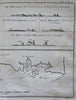
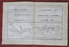
Nouvelle Irlande.
(Old Maps, 18th Century Maps, Papua New Guinea, Bismarck Archipelago, New Ireland, Latangai, Graphic Arts, Age of Exploration, Sailing Ships, World Voyages,).
Issued 1774, Paris for Hawkesworth for the English Exploration of the Southern Hemisphere. Engraved by Benard.
A nice 18th century copper engraved map relating to the nautical exploration of the South Pacific.
Nice looking example, pleasing age patina, minor light staining, dustiness or toning, remains mostly clean, any minor age flaws easy to overlook or forgive.
Original center fold as issued.
Sheet measures c. 10 1/4" H x 15" W.
Engraved area measures c. 8" H x 12 1/2" W.
[R33819].