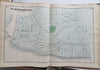
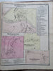
Franklin County Massachusetts Atlas 1871 F.W. Beers complete atlas 36 folio maps
Brian DiMambro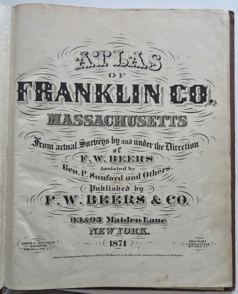


(Old Books, 19th Century Books, Americana, United States, New England, Massachusetts, Franklin County, Atlases, Township Plans).
Atlas of Franklin County Massachusetts.
Published 1871, New York by F.W. Beers & Co.
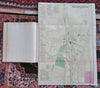
36 hand colored map sheets (many folding double page, a couple much larger), plus text leaves, complete as issued. Text in English.
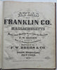
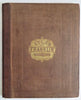
Attractive antiquarian folio 1/4 leather binding, cloth covers, gilt title lettering. Spine has been expertly and beautifully rebacked with appropriate leather, nice example, much better than typical for the type of county atlas most often encountered in rough shape (due to frequent heavy useage).
Book is physically old and shows some signs of handling and time.
Binding gently age worn but still appealing, leather and joints slightly rubbed but still supple, remains overall very attractive as an object.
Text block map sheet paper is gently age toned as typical, small scattered spotting, small smudging, perhaps a few early owner annotations relating to the map, some minor tears or splits (not many, never offensive), internally atlas remains mostly clean, tight and sound. A 19th century atlas which has been taken care of but may/ does not look like new.
Still attractive on the shelf. Atlas displays a pleasing and unique age patina, any age flaws seem easy to overlook or forgive.
Please review photos for more detailed attempt to present this atlas as it survives.
We often over-describe any flaws that many sellers would not even bother to mention since most people would overlook them as minor and unworthy of comment. Many people tell us the books they receive from us are nicer in person than they appears on the screen. We want you to be clear about what you are buying, so we take numerous photos and try to describe it openly and honestly.
Book Measures c. 16 1/4" H x 13 1/4" W.
[B10449].