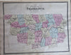
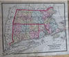
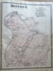
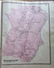
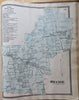
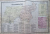
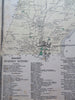
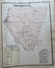
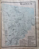
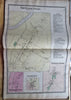
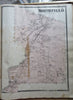
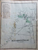
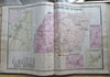
Franklin County Massachusetts Atlas 1871 FW Beers complete atlas 37 folio maps
Brian DiMambro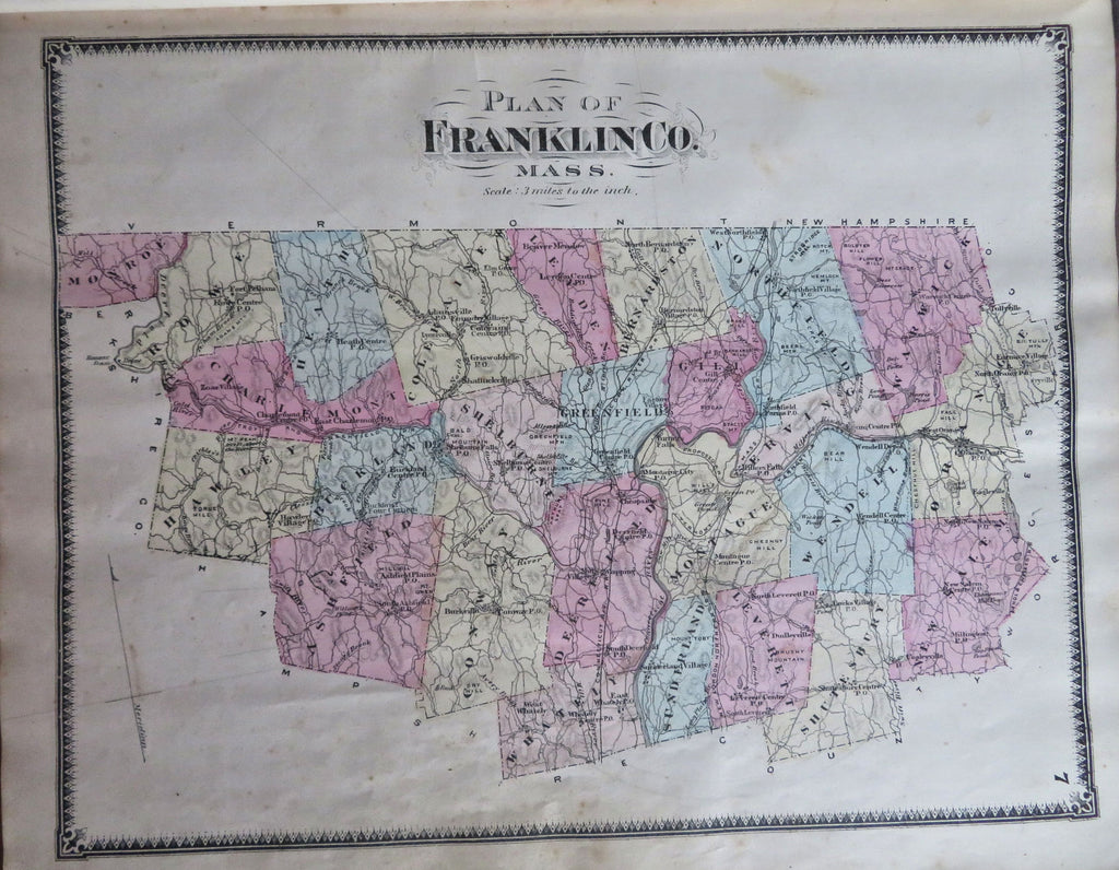
(Old Books, 19th Century Books, Americana, United States, New England, Massachusetts, Franklin County, Atlases, Township Plans).
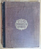
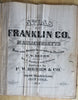
Atlas of Franklin County Massachusetts.
Published 1871, New York by F.W. Beers & Co.
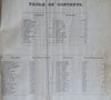
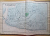
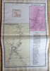
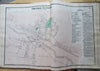
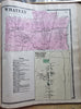
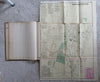
37 hand colored map sheets (many folding double page, a couple much larger), plus text leaves, complete as issued. Text in English. Most maps have detailed business directories on them listing many local merchants and trades people.
Original antiquarian folio 1/4 leather binding, cloth covers, gilt title lettering.
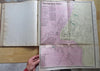
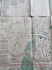
Atlas is physically old and shows some signs of handling and time. The two oversized folding maps have long tears along fold-lines or into map (visible in pics), title page and final map with some extensive old creasing.
Binding age worn but still appealing, leather and joints scuffed, worn with chipping, remains overall attractive as an object.
Text block map sheet paper is age toned as typical, many maps show evidence of browsing and handling, small scattered spotting, small smudging, some scattered early owner annotations relating to the map contents, some minor tears or splits (not many, never offensive), soft creases to a few maps, internally atlas remains mostly clean, tight and sound. A 19th century atlas which has been taken care of but may/ does not look like new.
Still attractive on the shelf. Atlas displays a pleasing and unique age patina, any age flaws seem easy to overlook or forgive.
Please review photos for more detailed attempt to present this uncommon 19th century folio Massachusetts atlas as it survives.
We often over-describe any flaws that many sellers would not even bother to mention since most people would overlook them as minor and unworthy of comment. Many people tell us the books they receive from us are nicer in person than they appears on the screen. We want you to be clear about what you are buying, so we take numerous photos and try to describe it openly and honestly.
Book Measures c. 16 1/4" H x 13 1/4" W.
[B10769].