London & Environs U.K. Railways 1910 travel guide w/ city maps Underground tube
London & Environs U.K. Railways 1910 travel guide w/ city maps Underground tube London & Environs U.K. Railways 1910 travel guide w/ city maps Underground tube London & Environs U.K. Railways 1910 travel guide w/ city maps Underground tube London & Environs U.K. Railways 1910 travel guide w/ city maps Underground tube London & Environs U.K. Railways 1910 travel guide w/ city maps Underground tube London & Environs U.K. Railways 1910 travel guide w/ city maps Underground tube London & Environs U.K. Railways 1910 travel guide w/ city maps Underground tube London & Environs U.K. Railways 1910 travel guide w/ city maps Underground tube London & Environs U.K. Railways 1910 travel guide w/ city maps Underground tube London & Environs U.K. Railways 1910 travel guide w/ city maps Underground tube London & Environs U.K. Railways 1910 travel guide w/ city maps Underground tube London & Environs U.K. Railways 1910 travel guide w/ city maps Underground tube London & Environs U.K. Railways 1910 travel guide w/ city maps Underground tube London & Environs U.K. Railways 1910 travel guide w/ city maps Underground tube London & Environs U.K. Railways 1910 travel guide w/ city maps Underground tube London & Environs U.K. Railways 1910 travel guide w/ city maps Underground tube London & Environs U.K. Railways 1910 travel guide w/ city maps Underground tube London & Environs U.K. Railways 1910 travel guide w/ city maps Underground tube London & Environs U.K. Railways 1910 travel guide w/ city maps Underground tube London & Environs U.K. Railways 1910 travel guide w/ city maps Underground tube London & Environs U.K. Railways 1910 travel guide w/ city maps Underground tube London & Environs U.K. Railways 1910 travel guide w/ city maps Underground tube
$ 85.00

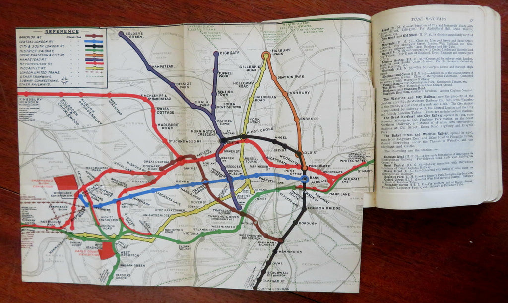
(Old Books, 20th Century Books, Travel, Tourism, Europe, United Kingdom, London, Vintage Advertising, Illustrated Books, Books with Maps).

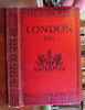
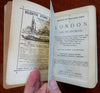
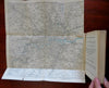
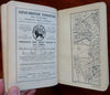
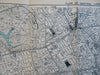
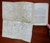
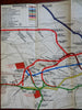
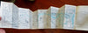
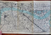
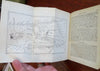
A Pictorial and Descriptive Guide to London and Its Environs: With Two Large Sections Plans of Central London; Map of London and Twelve Miles Around; Two Railway Maps; Maps Showing the Main Roads Out of London; Plan of Hyde Park and Kensington Gardens, and Twenty Other Maps and Plans.
Published 1910, London by Ward, Lock & Co.
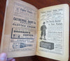
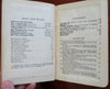
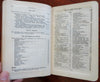
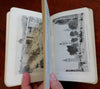
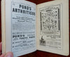
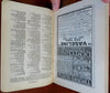
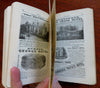
280 pages plus advertising. Text in English. Illustrated throughout w/ plates & detailed color folding maps.

Publisher's cloth covers.

Book is physically old and shows some signs of handling and time. Book is not new or in "new" condition.

Binding gently age worn, mostly light or inoffensive signs of handling and time but nothing severe or unsightly, book remains overall attractive as an object.

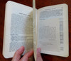
Paper is gently toned, endpapers heavily toned and detached, still clean, tight, sound internally.

Still attractive on the shelf. The guide book displays a pleasing and unique age patina and is in overall nice antiquarian condition, any age flaws which may be present seem easy to overlook or forgive. 

Please review photos for more detail showing how this book survives. The asking price reflects the condition based on our examination and 35+ years full time exposure to antiquarian books, maps and printed ephemera of all types and genres. Flaws seen and/ or described have been taken into account.

Book Measures c. 6 3/4" H x 4 1/2" W.

[B9964].