Long Island New York Cartographic Reference 1997 David Allen pictorial book
Brian DiMambro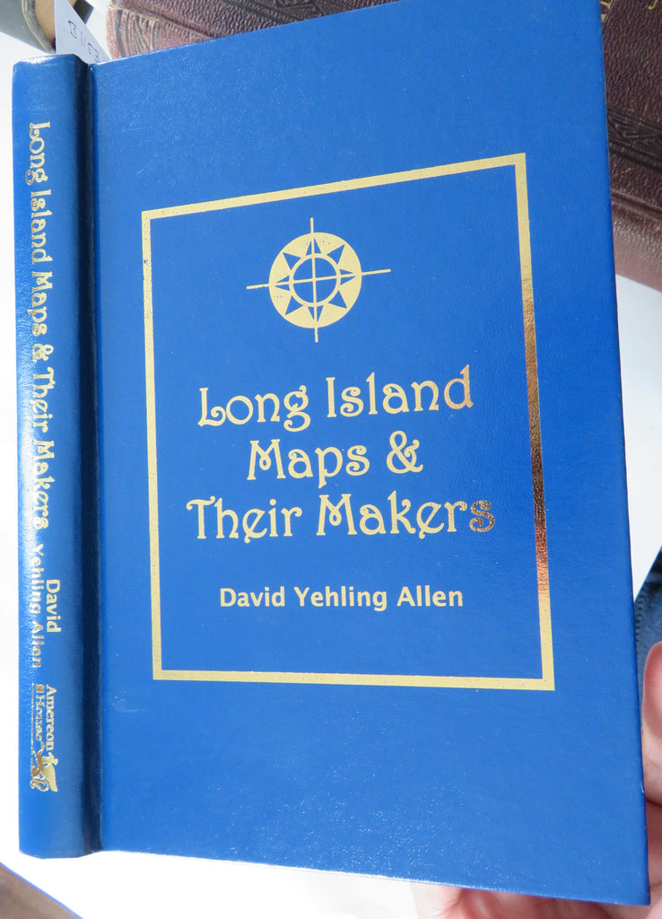

(Old Books, 20th Century Books, Reference Books, Map Collecting, New York, Long Island, Illustrated Books, Cartography).
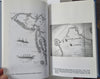
Long Island Maps and Their Makers: Five Centuries of Cartographic History, by David Yehling Allen.
Published 1997, Mattituck, New York by Amereon House.
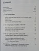
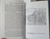
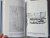
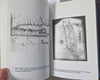
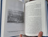
154 pages. Text in English. Illustrated throughout.
Publisher's cloth binding, gilt title lettering. Key and still essential cartographic reference.
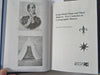
Book is physically old and shows some signs of handling and time. Book is not new or in "new" condition.
Binding gently age worn, mostly light or inoffensive signs of handling and time but nothing severe or unsightly, book remains overall attractive as an object.
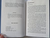
Paper is gently toned, still clean, tight, sound internally.
Still attractive on the shelf. The book displays a pleasing and unique age patina and is in overall nice antiquarian condition, any age flaws which may be present seem easy to overlook or forgive.
Please review photos for more detail showing how this book survives. The asking price reflects the condition based on our examination and 35+ years full time exposure to antiquarian books, maps and printed ephemera of all types and genres. Flaws seen and/ or described have been taken into account.
Book Measures c. 9" H x 5 3/4" W.
[B11531].