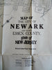
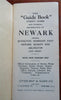
Newark New Jersey Indexed Street Plan Subway Lines Bus Routes 1939 pocket map
Brian DiMambro- Antiquarian Books, Maps & Prints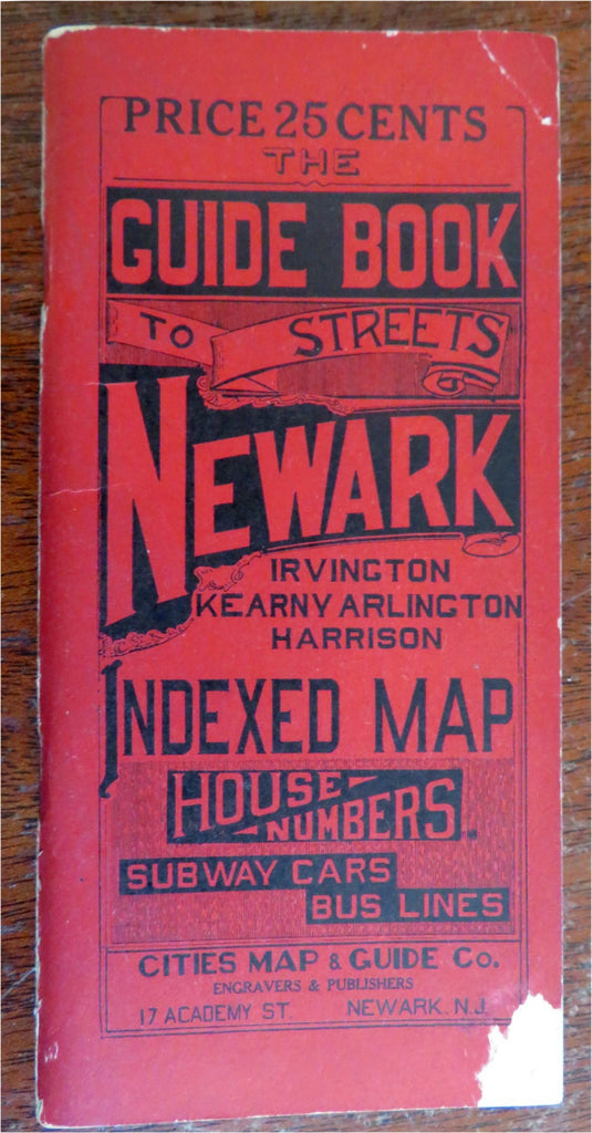
(Old Books, 20th Century Books, Americana, Travel, Tourism, New Jersey, Newark, Street Map, Index, Subway Lines, Bus Routes).
The Guide Book to Streets: Newark, Irvington, Kearny, Arlington, Harrison. Indexed Map. House Numbers, Subway Cars, Bus Lines.
Published 1939, Newark New Jersey by Cities Map & Guide Co.
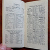
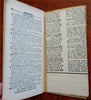
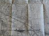
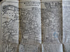
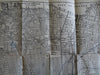
96 pages plus large folding map. Text in English.
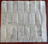
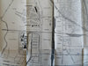
Publisher's advertising card stock paper wrappers. Includes the Newark Airport. Several spots are circled and marked by a previous owner of the map (black ink, pencil & blue pencil).
The key locates proposed streets and trolley lines.
Map is physically old and shows some signs of handling and time. Map is not new or in "new" condition.
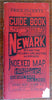
Binding gently age worn, small chip to bottom of front cover, mostly light or inoffensive signs of handling and time but nothing severe or unsightly, item remains overall attractive as an object.
Paper is gently toned, still clean, tight, sound internally.
Still attractive on the shelf. The map displays a pleasing and unique age patina and is in overall nice antiquarian condition, any age flaws which may be present seem easy to overlook or forgive.
Please review photos for more detail showing how this map survives. The asking price reflects the condition based on our examination and 35+ years full time exposure to antiquarian books, maps and printed ephemera of all types and genres. Flaws seen and/ or described have been taken into account.
Book Measures c. 6 1/4" H x 3" W.
[B8452].