Ancient Egypt Africa Upper & Lower Kingdoms Nile River Red Sea 1832 map
Brian DiMambro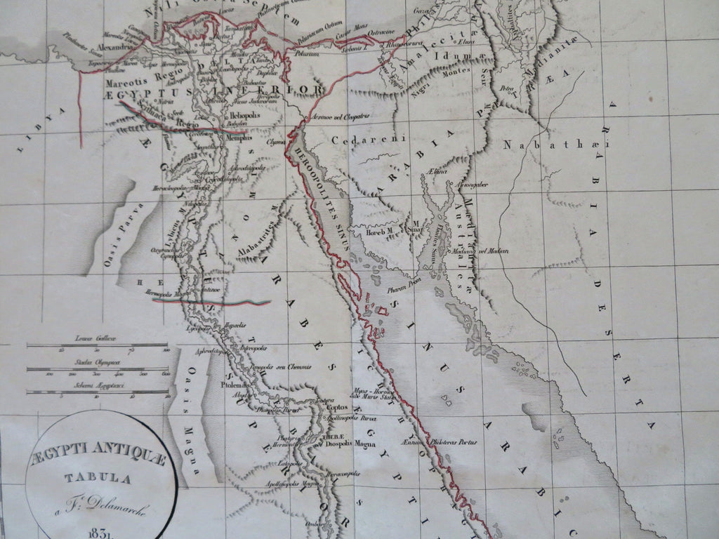
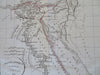
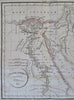
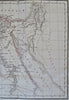
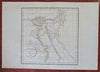
Aegypti Antiquae Tabula.
(Old Maps, 19th Century Maps, Africa, North Africa, Egypt, Red Sea, Nile River, Alexandria, Memphis, Thebes).
Issued 1831, Paris by Delamarche.
Mid 19th century antique engraved map with original outline hand color.
Well preserved, light old damp staining across the bottom, still a nice looking example with pleasing age patina.
Original center fold as issued.
Sheet Measures c. 13 1/4" H x 18 3/4" W.
Engraved Area Measures c. 11" H x 11" W.
Cartographic Reference(s):
Tooley's Dictionary of Mapmakers, vol. 1.
[R32422].