Ancient World Upper & Lower Egypt Holy Land Phoenicia 1852 Dufour map
Brian DiMambro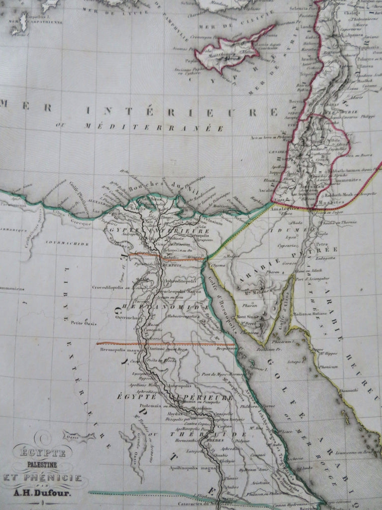
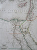
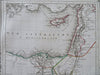
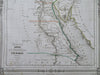
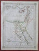
Egypte, Palestine et Phenicie.
(Old Maps, 19th Century Maps, Africa, Egypt, Upper Egypt, Lower Egypt, Sinai Peninsula, Holy Land, Palestine, Israel, Phoenicia).
Issued 1852, Paris by Basset. Map by DuFour. Engraved by Smith.
Mid 19th century antique engraved historical map with original outline hand color. Nice decorative border.
Well preserved, nice looking example with pleasing age patina.
Sheet Measures c. 10" H x 13" W.
Engraved Area Measures c. 9" H x 12" W.
Cartographic Reference(s):
Tooley's Dictionary of Mapmakers, vol. 2.
[R32545].