Chinese Coast Hainan to Hei Che Chin Bay Formosa Taiwan c. 1856-72 coastal map
Brian DiMambro- Antiquarian Books, Maps & Prints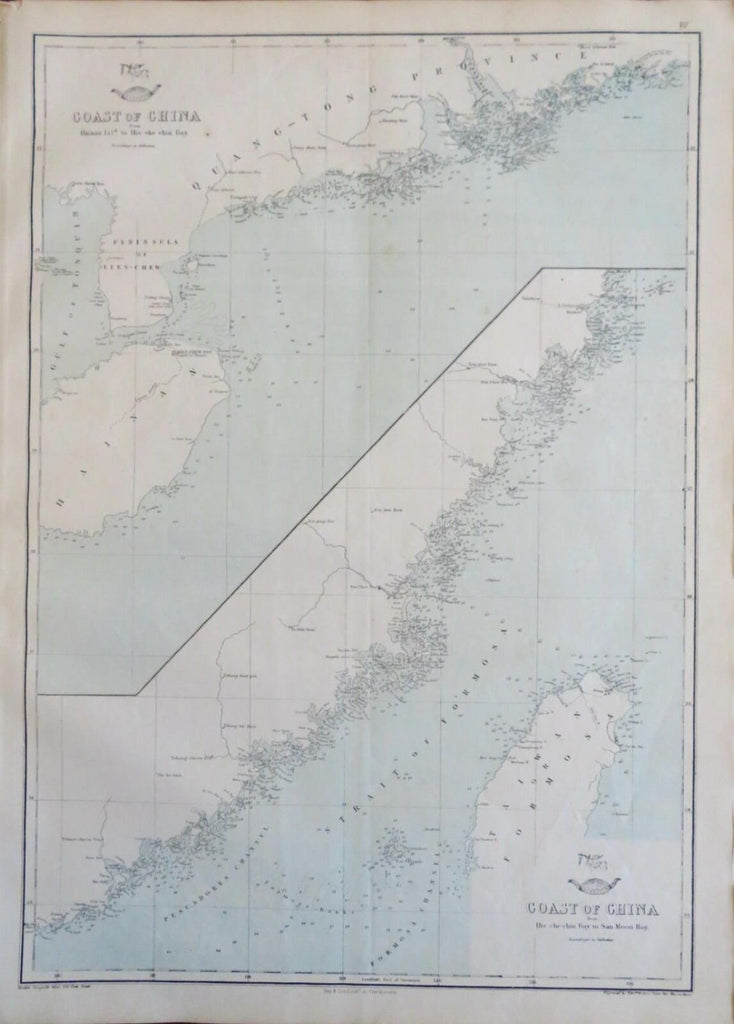
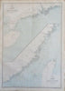
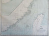
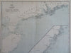
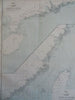
Coast of China from Hainan Island to the Hie Che Chin Bay - Coast of China from Hie Che Chin Bayt to San Moon Bay.
(Old Maps, 19th Century Maps, Asia, China, Qing Empire, Coastal Map, Formosa, Taiwan, Hainan, Hei Che Chin Bay, Sun & Moon Bay).
Issued c. 1856-72, London by Edward Weller for the Weekly Dispatch Atlas.
Mid 19th century lithographed map with original outline hand color.
A relatively uncommon map which was among maps issued in weekly installments for many years by this firm.
Typical signs of time and wear soft old crease lines which are easy to overlook.
Sheet Measures c. 13 1/2" H x 18 1/4" W.
Printed Area Measures c. 12" H x 17" W.
Cartographic Reference(s):
Tooley's Dictionary of Mapmakers, vol. 4.
[R30336].