Circle of Lower Saxony Holy Roman Empire Holstein Bremen 1762 Kitchin map
Brian DiMambro- Antiquarian Books, Maps & Prints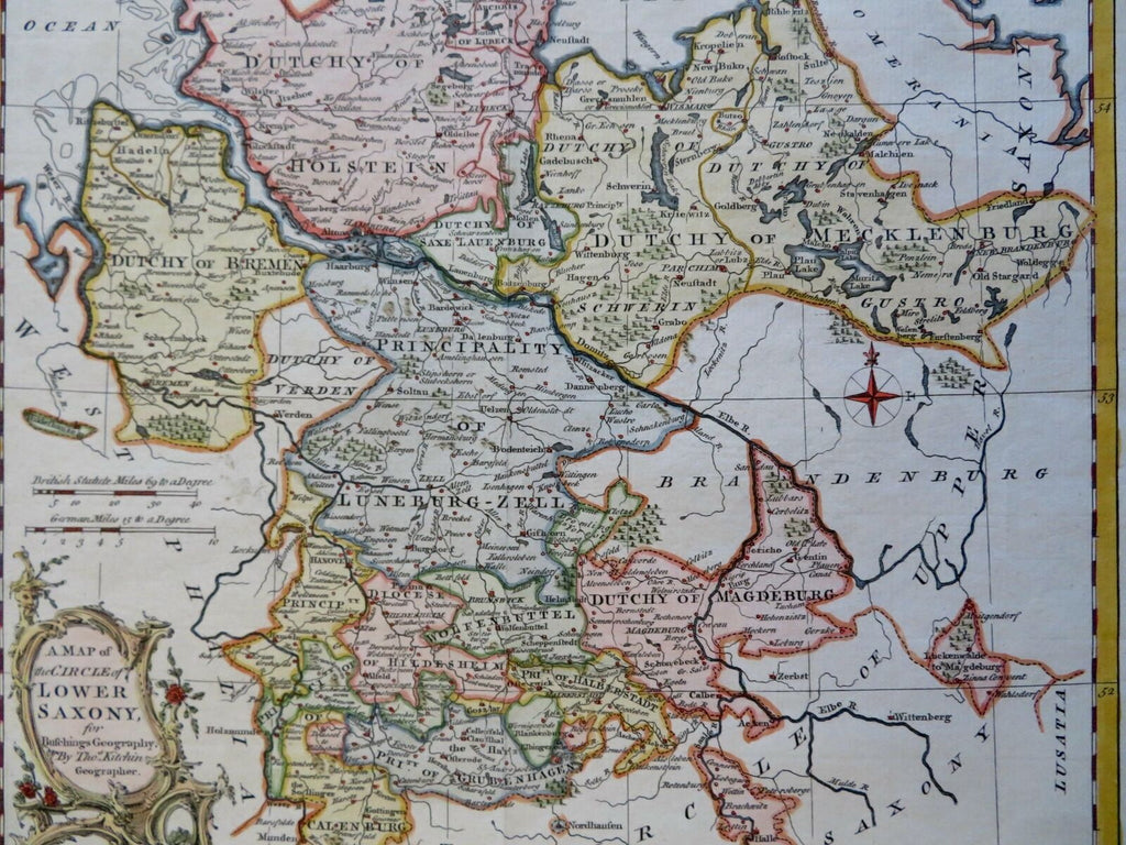
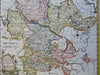
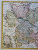
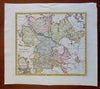
A Map of the Circle of Lower Saxony.
(Old Maps, 18th Century Maps, Europe, Holy Roman Empire, Germany, Lower Saxony, Mecklenburg, Luneburg, Magdeburg, Bremen, Holstein).
Issued 1762, London by Busching. Map by Thomas Kitchin.
Mid 18th century engraved map with attractive hand color. Decorative cartouche greatly enhances visual appeal.
Remains a nice looking example with a pleasing age patina. Any age flaws mostly minor and easy to overlook or forgive.
Original fold lines as issued.
Sheet Measures c. 11 1/2" H x 12 3/4" W.
Engraved Area Measures c. 9" H x 10" W.
Cartographic Reference(s):
Tooley's Dictionary of Mapmakers, vol. 3.
[R29577].