Eastern Europe Russia Scandinavia Ottoman Empire 1875 Stieler 6 sheet wall map
Brian DiMambro- Antiquarian Books, Maps & Prints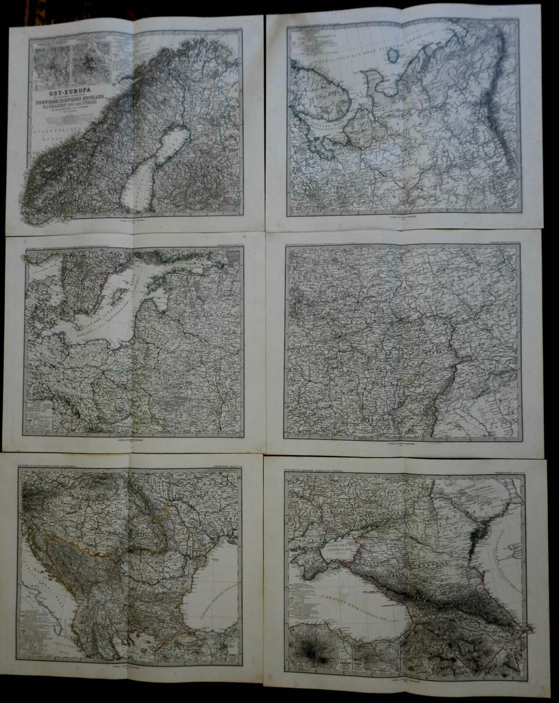
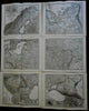
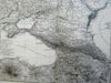

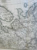
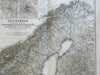
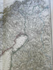
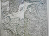
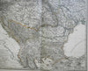
Ost-Europe in 6. Blattern
(Europe, Eastern Europe, Scandinavia, Russia, Ottoman Empire).
Issued 1875-6, Gotha by Justus Perthes for Stieler.
Very detailed 19th century engraved map with original outline hand color. Map consists of 6 sheets.
Stieler maps went through continual revisions. Thus, for any specific Stieler map such as this one, there are often numerous variant issues with varying details.
Nice looking example, clean, pleasing age patina, any minor age flaws easy to overlook or forgive.
Original fold line as issued.
Each sheet Measures c. 15 1/4" H x 18" W.
Cartographic Reference(s):
Tooley's Dictionary of Mapmakers, vol. 4.
[R23123].