England Wales York Cornwall Kent Norfolk Cumberland London 1807 Cary folio map
Brian DiMambro- Antiquarian Books, Maps & Prints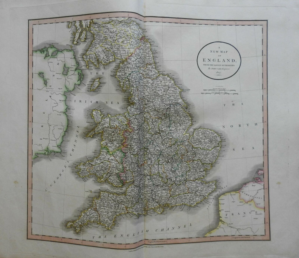
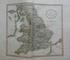
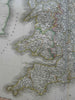
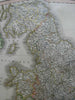
A New Map of England from the Latest Authorities.
(Europe, British Isles, United Kingdom, England, Wales, York, Westmoreland, Norfolk, Essex, Cornwall).
Issued 1807, London by Cary.
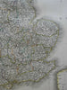
Early 19th century engraved map with original outline hand color.
Nice looking example, pleasing age patina, any minor age flaws easy to overlook or forgive. Maps remains in very good condition, a lovely survival.
Folio sized map. Original center fold as issued.
Sheet measures c. 22 3/4" H x 26 1/2" W.
Engraved area measures c. 18" H x 20" W.
Cartographic Reference(s):.
Tooley's Dictionary of Mapmakers, vol. 1.
[R22366].