Europe Holy Roman Empire Ottoman Empire 1786 Bowen hand color map
Brian DiMambro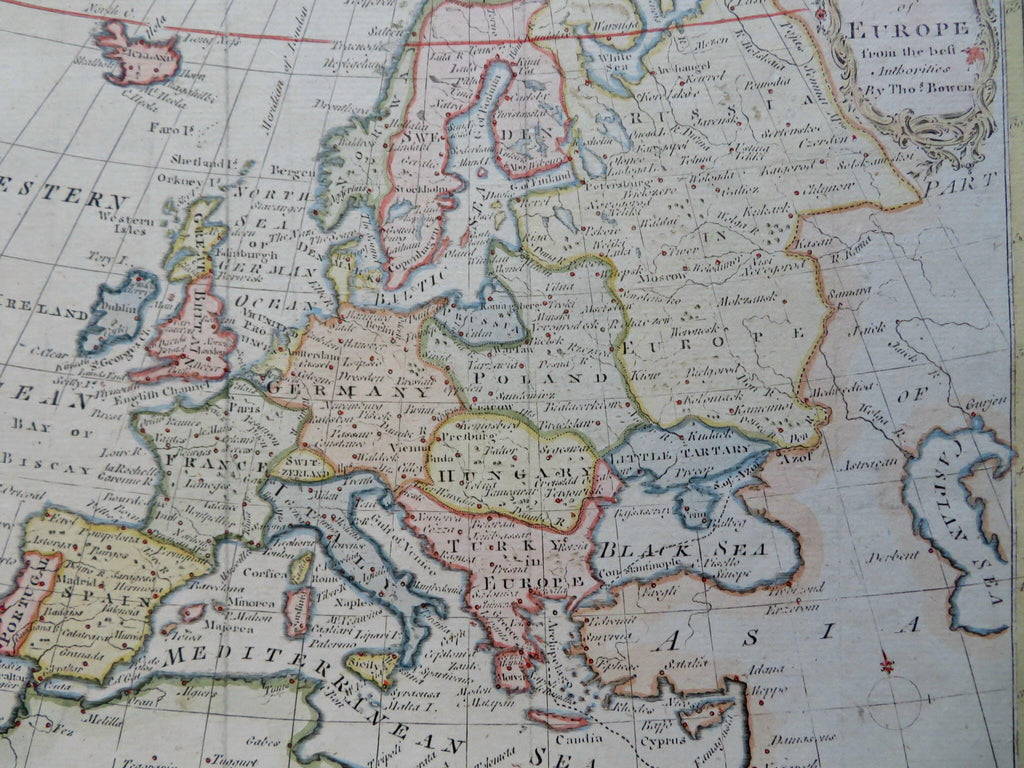
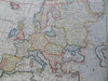
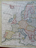
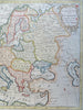
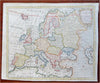
An Accurate Map of Europe.
(Old Maps, 18th Century Maps, Europe, Iberia, France, British Isles, Iceland, Low Countries, Italy, Holy Roman Empire, Scandinavia, Poland, Russian Empire, Ottoman Empire, Hungary).
Issued 1786, London by Thomas Bowen.
Late 18th century engraved map with attractive hand color. Decorative scroll and vegetation cartouche at top right enhances visual appeal.
Remains a nice looking example with a pleasing age patina. Any age flaws mostly minor and easy to overlook or forgive.
Sheet Measures c. 8 1/2" H x 10 1/4" W.
Engraved Area Measures c. 7 7/8" H x 9 1/2" W.
Cartographic Reference(s):
Tooley's Dictionary of Mapmakers, vol. 1.
[R31053].