Europe Holy Roman Empire Ottomans France British Isles 1757 Jeffrys map
Brian DiMambro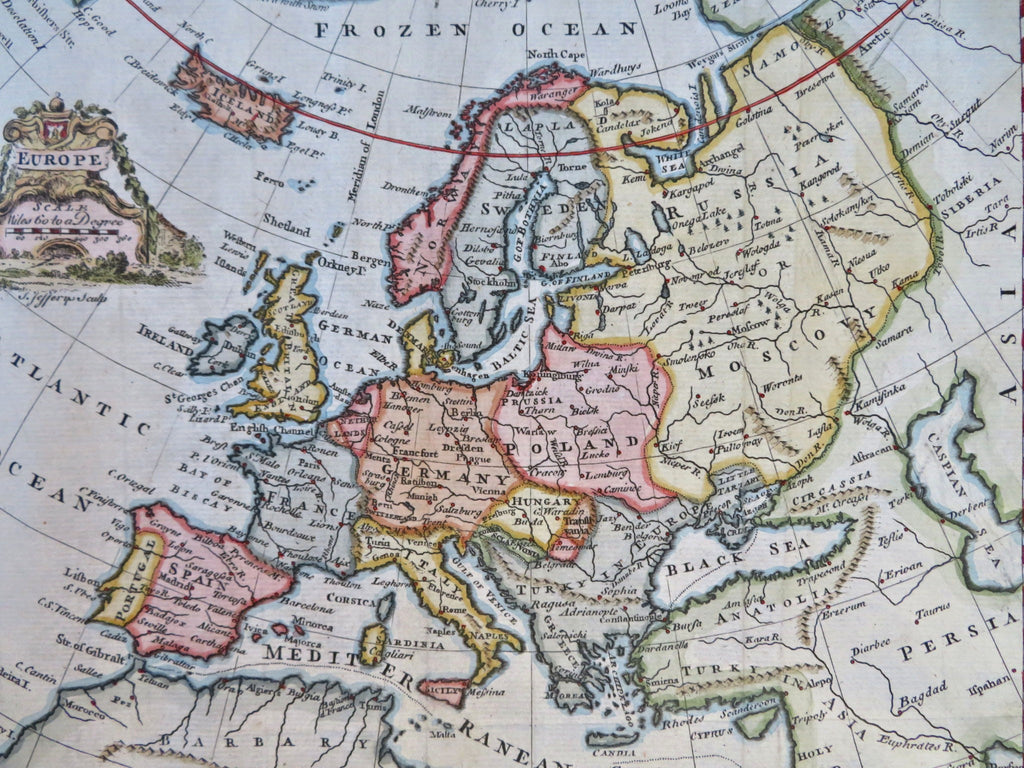
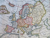
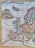
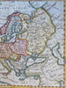
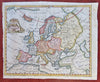
Europe.
(Old Maps, 18th Century Maps, Europe, Iberia, France, British Isles, Low Countries, Holy Roman Empire, Italy, Scandinavia, Poland, Ottoman Empire, Russian Empire).
Issued 1757, London. Engraved by Jeffrys.
Mid 18th century engraved map with attractive hand color. Decorative cartouche greatly enhances visual appeal.
Remains a nice looking example with a pleasing age patina. Any age flaws mostly minor and easy to overlook or forgive.
Original fold lines as issued, left side margin slightly uneven/ nicked but still ample for framing.
Sheet Measures c. 8" H x 9 3/4" W.
Engraved Area Measures c. 7 1/4" H x 8 3/4" W.
Cartographic Reference(s):
Tooley's Dictionary of Mapmakers, vol. 2.
[R33567].