Holy Roman Empire Germany Austria Bohemia Switzerland 1786 Lodge engraved map
Brian DiMambro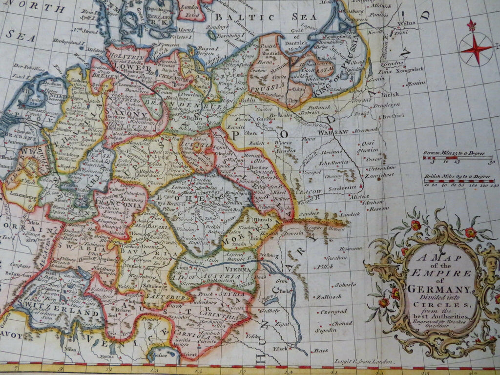

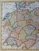
A Map of the Empire of Germany Divided into Circles from the Best Authorities.
(Old Maps, 18th Century Maps, Europe, Holy Roman Empire, Germany, Switzerland, Austria, Bohemia, Low Countries, Prussia, Bavaria, Saxony, Westphalia, Pomerania).
Issued 1786, London for Brookes. Engraved by J. Lodge.
Late 18th century engraved map with attractive hand color. A scroll and vegetation cartouche lower right enhances the visual appeal.
Remains a nice looking example with a pleasing age patina. Any age flaws mostly minor and easy to overlook or forgive.
Sheet Measures c. 8 1/4" H x 13 1/4" W.
Engraved Area Measures c. 7 3/4" H x 11" W.
Cartographic Reference(s):
Tooley's Dictionary of Mapmakers, vol. 3.
[R31794].