Lille Flanders France Fortifications Moat Churches c. 1745 Basire city plan
Brian DiMambro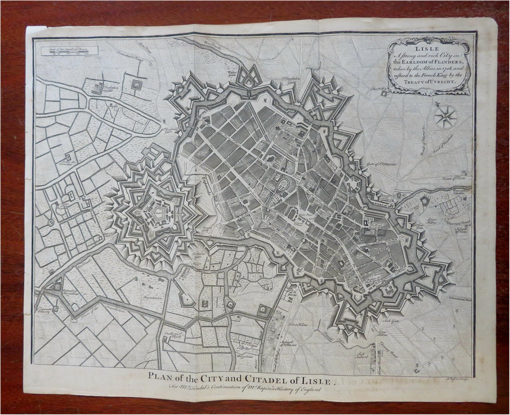

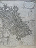
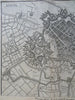
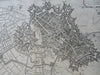
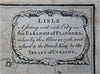


Plan of the City and Citadel of Lisle.
(Old Maps, 18th Century Maps, Europe, France, Flanders, Lille, Military Fortifications, Star Fort, City Plan).
Issued c. 1745 London by Tindall. Engraved by J. Basire.
Fine large mid 18th century detailed engraved city plan. Dozens of place names shown.
Nice looking example, pleasing age patina, any minor age flaws easy to overlook or forgive.
Original fold lines as issued.
Sheet measures c. 16" H x 19 1/2" W.
Engraved area measures c. 14 1/4" H x 18 1/2" W.
Cartographic Reference(s):.
Tooley's Dictionary of Mapmakers, vol. 1.
[R31426].