New York City in 1791 Lower Manhattan Long Island 1851 historical city plan map
Brian DiMambro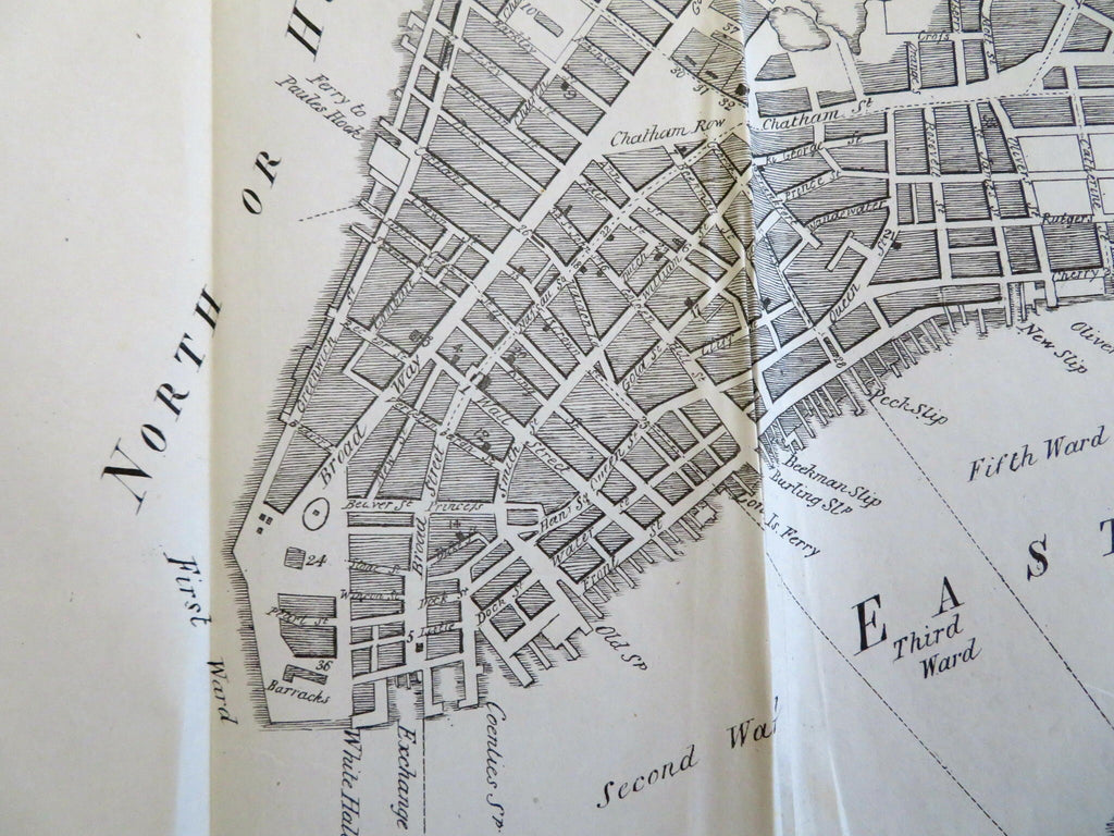
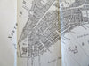
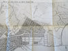
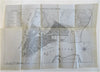
Plan of the City of New York, 1791.
(Old Maps, 18th Century Maps, United States, New York City, Manhattan, Historical Maps, City Plans).
Issued 1851, New York by Hayward.
Mid 19th century lithographed historical map depicting New York City in 1791.
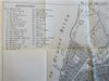
Key at top left identifies 38 specific locations of note.
Clean example, left side blank margin trimmed as issued as seen (to facilitate folding).
Sheet Measures c. 10 1/4" H x 15" W.
Cartographic Reference(s):
Tooley's Dictionary of Mapmakers, vol. 2.
[B9767].