Niuewpoort Flanders Belgium City Plan Skyline view c. 1745 Basire large fine map
Brian DiMambro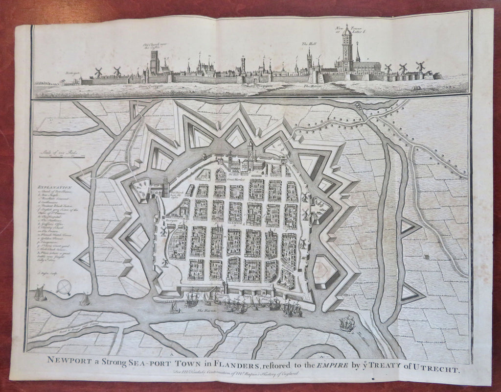


Newport, a Strong Sea-Port Town in Flanders, Restored to The Empire by Ye Treaty of Utrecht.
(Old Maps, 18th Century Maps, Europe, Low Countries, Belgium, Flanders, Nieuwpoort, City Plan, Fortifications).
Issued 1745, London for Tindale. Engraved by J. Basire.
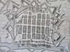
Excellent large mid 18th century engraved city plan with a skyline city view across the top. Hundreds of buildings are shown in prospect birds-eye view, sailing ships along the river. The fortifications of the city include cannons. An explanation key down the left side notes over a dozen important locations.
Nice looking example, pleasing age patina, any minor age flaws easy to overlook or forgive.
Original fold lines as issued.
Sheet measures c. 15 1/2" H x 20" W.
Engraved area measures c. 15" H x 19" W.
Cartographic Reference(s):.
Tooley's Dictionary of Mapmakers, vol. 1.
[R32444].