Paris & Environs Versailles Montmartre Charenton c. 1850 detailed city plan
Brian DiMambro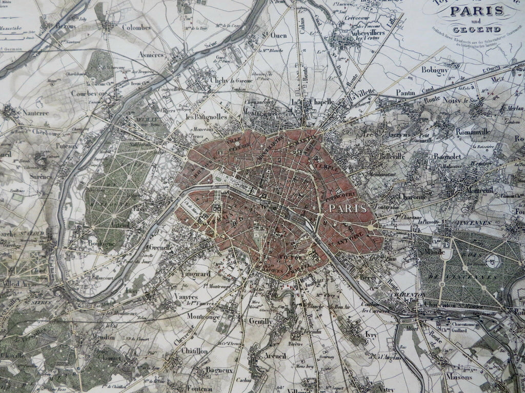
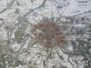
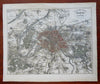
Topographische Karte von Paris und Gegend.
(Old Maps, 19th Century Maps, Europe, France, Paris, Versailles, Montmartre, Charenton, Bagneux, Gentilly).
Issued c. 1850, Hildburghausen, Germany by the Bibliographic Institute for Meyer.
Splendid mid 19th century engraved city plan map with attractive hand color. A superior visual example.
With a stunningly level of detailed engraving work, literally head of a tiny pin level.
Remains a clean, nice looking example with a pleasing age patina, any age flaws or minor soiling / spotting are minor and easy to overlook or forgive.
Sheet Measures c. 10 1/4" H x 12 1/4" W.
Engraved Area Measures c. 8 1/2" H x 11" W.
Cartographic Reference(s):
Tooley's Dictionary of Mapmakers, vol. 3.
[R31806].