Poland Partition Prussia Austria Russia Lithuania 1807 Barlow old hand color map
Brian DiMambro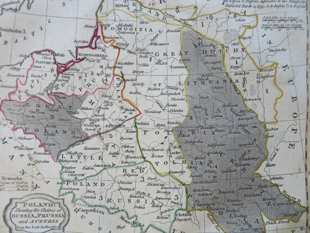
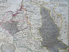
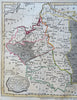
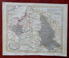
Poland Showing the Claims of Russia, Prussia, and Austria from the Best Authorities.
(Old Maps, 19th Century Maps, Europe, Poland, Lithuania, Warsaw, Krakow, Vilnius, Russia, Prussia, Austria).
Issued 1807, Bungay, England by C. Brightly & E. Kennersly. Engraved by E. Barlow.
Uncommon early 19th century engraved map with original outline hand color.
Well preserved, nice looking example with pleasing age patina.
Sheet Measures c. 8" H x 9 3/4" W.
Engraved Area Measures c. 7 1/4" H x 8 1/2" W.
Cartographic Reference(s):
Tooley's Dictionary of Mapmakers, vol. 1.
[R31847].