Pula Croatia Istria Coastal Survey Navigation c, 1750's Bellin engraved map
Brian DiMambro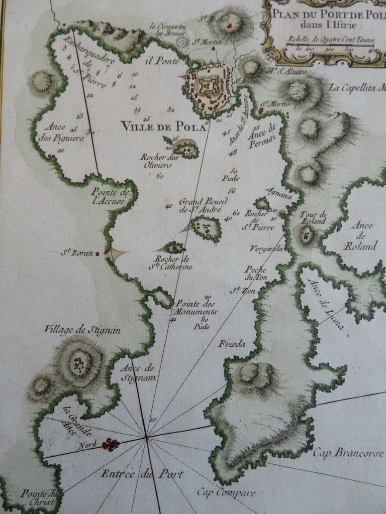
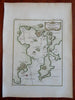
Plan du Port de Pole dans L'Istrie.
(Old Maps, 18th Century Maps, Europe, Croatia, Holy Roman Empire, Hapsburg Lands, Pula, Coastal Survey).
Issued c. 1750's, Paris by Bellin.
Mid- 18th century engraved map with attractive hand color.
Remains a nice looking example with a pleasing age patina. Any age flaws mostly minor and easy to overlook or forgive.
Sheet Measures c. 13" H x 9 1/4" W.
Engraved Area Measures c. 9" H x 6 1/2" W.
Cartographic Reference(s):
Tooley's Dictionary of Mapmakers, vol. 1.
[R31804].