Roadways of Europe Weimar Germany France Italy 1919-35 linen backed large map
Brian DiMambro- Antiquarian Books, Maps & Prints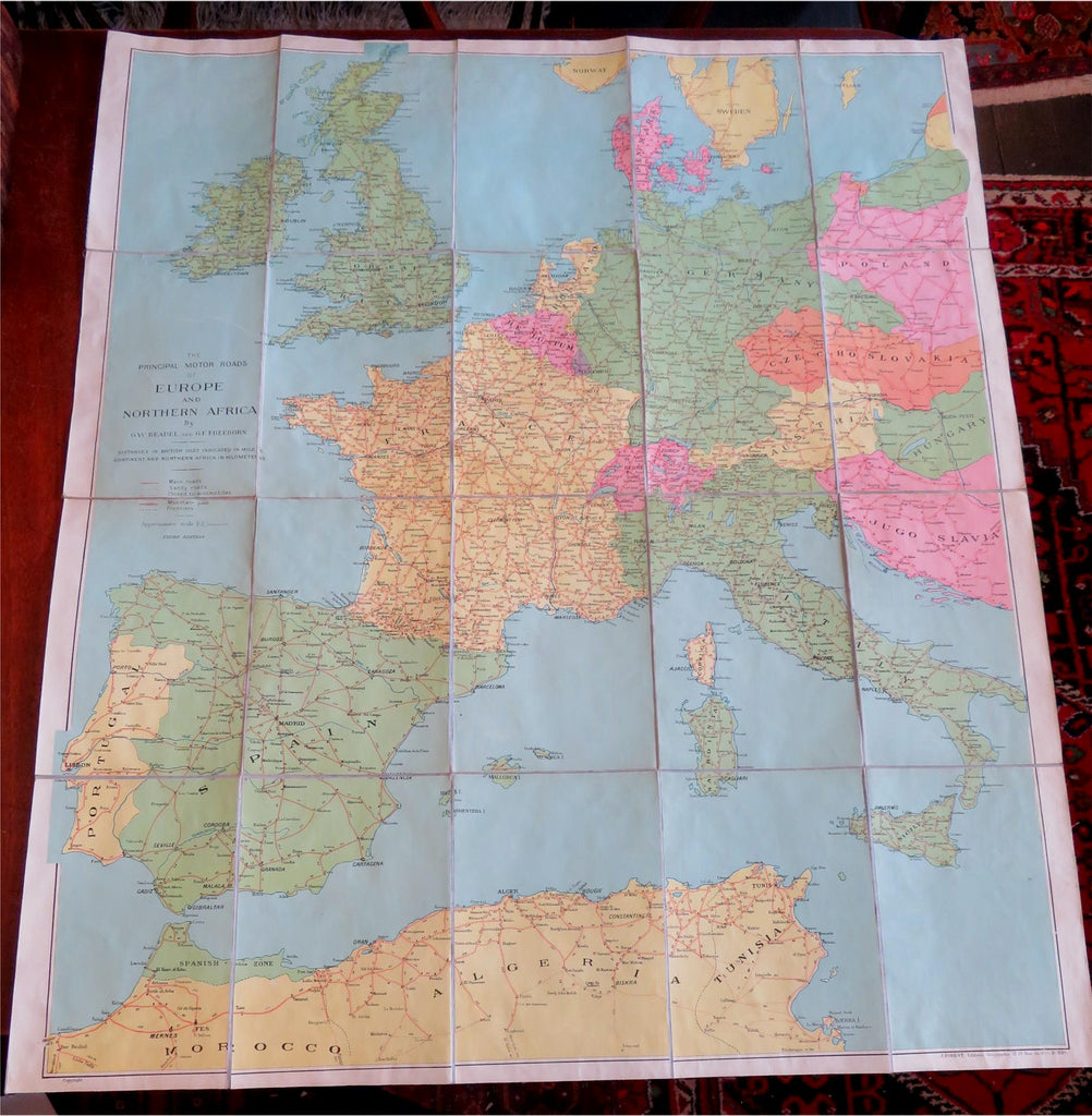

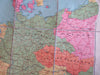
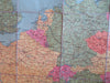
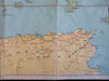
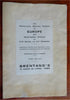
The Principal Motor Roads of Europe and Northern Africa. Third Edition.
(Old Maps, Europe, North Africa, British Isles, France, Italy, Germany, Low Countries, Morocco, Algeria, Czechoslovakia, Hungary, Austria).
Issued c. 1919-1935, Paris by Bretano's. Map by G.W. Beadel and G.F. Freeborn.
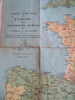
Early 20th century color lithographed linen-backed oversize map segmented into panels as issued. Map displays Europe & North Africa between the World Wars.
The key notes roads which were then closed, likely due to the First World War.
Well preserved, nice looking example with pleasing age patina.
Folded map measures c. 10 1/2" H x 7 1/4" W.
Unfolded map measures c. "H x "W.
Cartographic Reference(s):
Tooley's Dictionary of Mapmakers, vol. 1.
[B6033].