Russian Empire Muscovy Finland Ukraine Baltic States Poland 1806 two sheet map
Brian DiMambro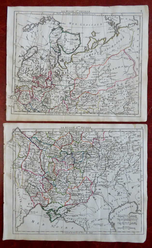
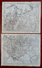
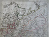
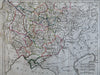
La Russie.
(Old Maps, 19th Century Maps, Europe, Russian Empire, Finland, Muscovy, Novgorod, Poland, Baltic States, Ukraine, Crimea).
Issued 1806, Paris by Desray. Engraved by Glot.
Early 19th century antique engraved map with original outline hand color.
Well preserved, nice looking example with pleasing age patina.
Soft original fold lines as issued for a rare tiny pocket atlas, pressed flat long ago. Map consists of two sheets, please see photos.
Sheets Measure c. 8" H x 9" W.
Engraved Areas Measure c. 7" H x 8 1/2" W.
Cartographic Reference(s):
Tooley's Dictionary of Mapmakers, vol. 1.
[B10475].