Seven United Provinces Dutch Republic Austrian Netherlands 1755 Bowen map
Brian DiMambro- Antiquarian Books, Maps & Prints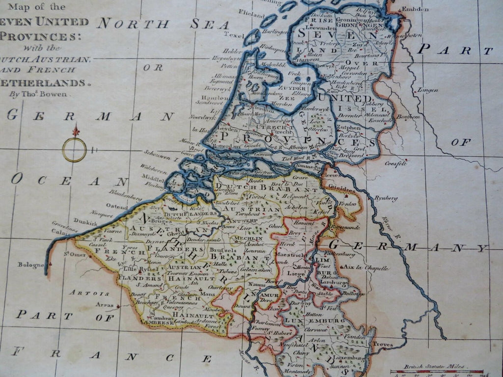
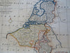
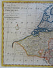
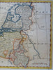
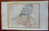
A Map of the Seven United Provinces with the Dutch, Austrian, and French Netherlands.
(Old Maps, 18th Century Maps, Europe, Low Countries, Netherlands, Dutch Republic, Seven United Provinces, Austrian Netherlands, French Netherlands).
Issued c. 1775, London. Map by Thomas Bowen.
Late 18th century engraved map with attractive hand color.
Remains a nice looking example with a pleasing age patina. Any age flaws mostly minor and easy to overlook or forgive.
Sheet Measures c. 9 3/4" H x 15 1/4" W.
Engraved Area Measures c. 8 1/2" H x 10 1/2" W.
Cartographic Reference(s):
Tooley's Dictionary of Mapmakers, vol. 1.
[R29574].